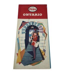


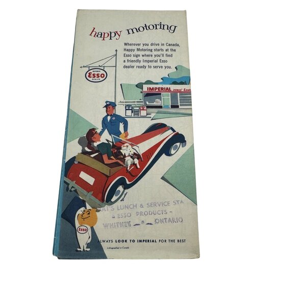
Vintage 1959 Esso Ontario Road Map Featuring Provincial Parks & Travel Info
$16
Size
Like and save for later
Add To Bundle
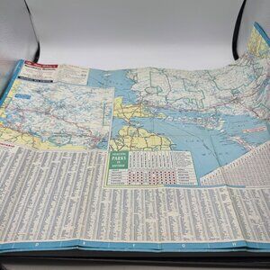
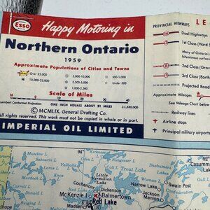
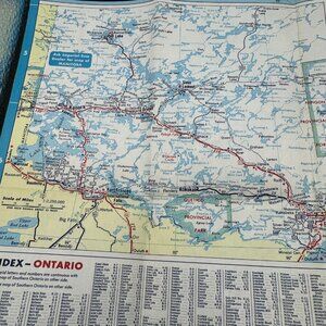
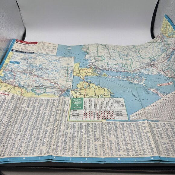
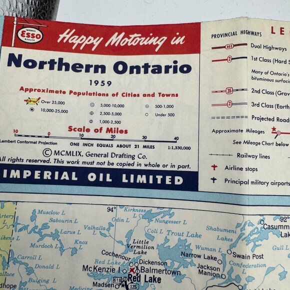
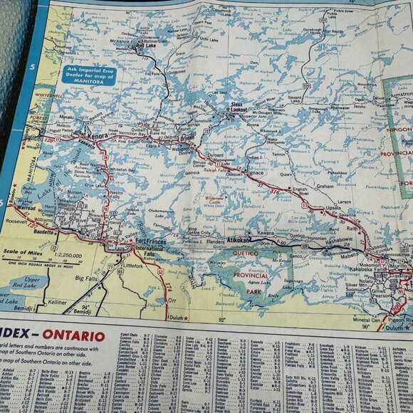
This 1959 Esso road map provides comprehensive travel details for Ontario, including provincial parks, highways, and city populations, ideal for historical or geographical research.
• Foldable design for easy storage
• Features maps of Northern Ontario and Provincial Parks
• Includes population data and travel mileage
• Published by Imperial Oil Limited in 1959
• Vibrant vintage illustrations
Edges show light wear consistent with age. Measures approximately 9.5 inches tall when folded.
This item comes from a smoke-free, pet-friendly home.
Shipping/Discount
Posh Protect: Buyer Protection Policy
Get your order as described or receive your money back. Learn More.


Find Similar Listings
About the seller

@rustedtruck
Last Active: 29 hours ago
Washington, UT
4332
Listings400+
Sold Listings1 day
Avg. Ship time53
Love NotesAbout the seller
@rustedtruck
Last Active: 29 hours ago
Washington, UT
4332
Listings400+
Sold Listings1 day
Avg. Ship time53
Love Notes
Account is under Review
Comment posting is temporarily restricted. Our team will reach out to you shortly. To understand why, select
Learn More.
