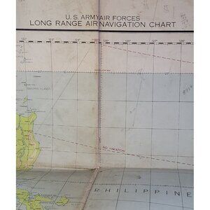

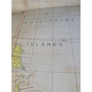
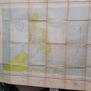
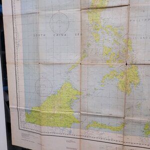
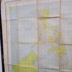
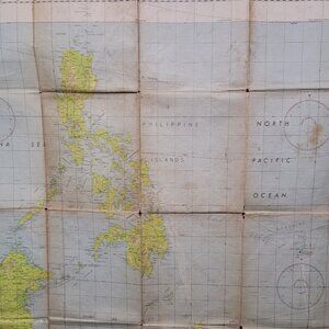
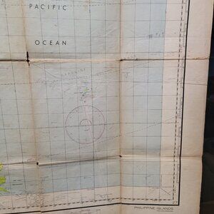
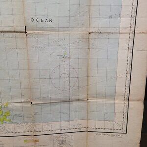

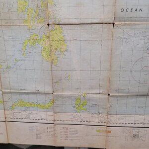
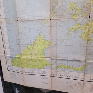
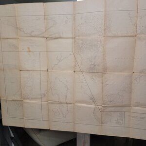
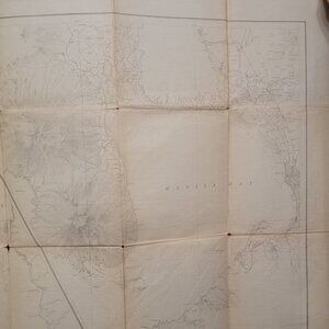
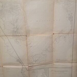
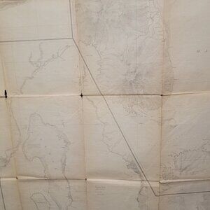
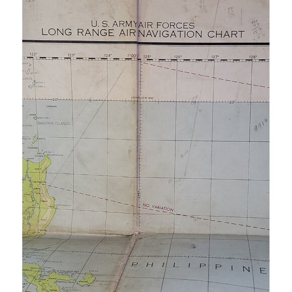
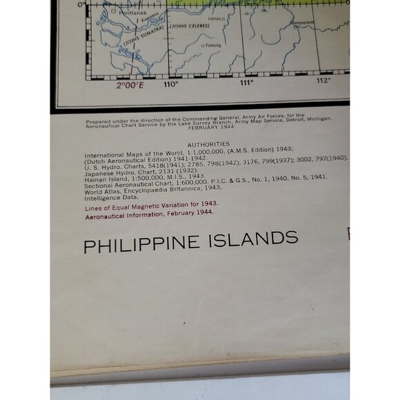

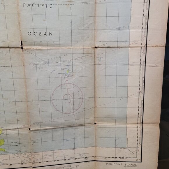
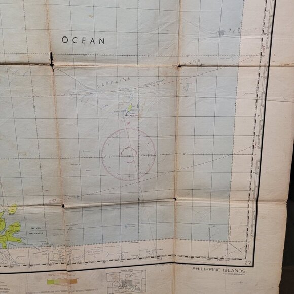
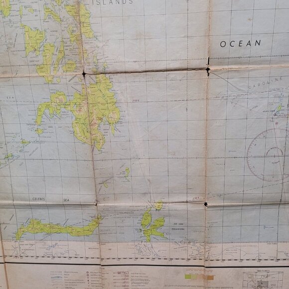
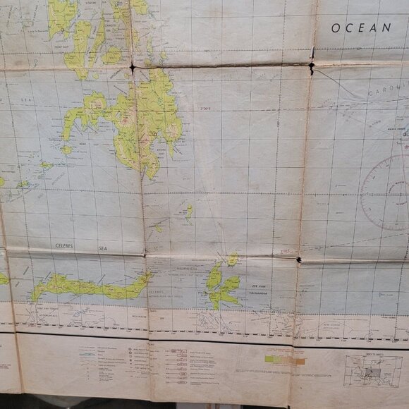

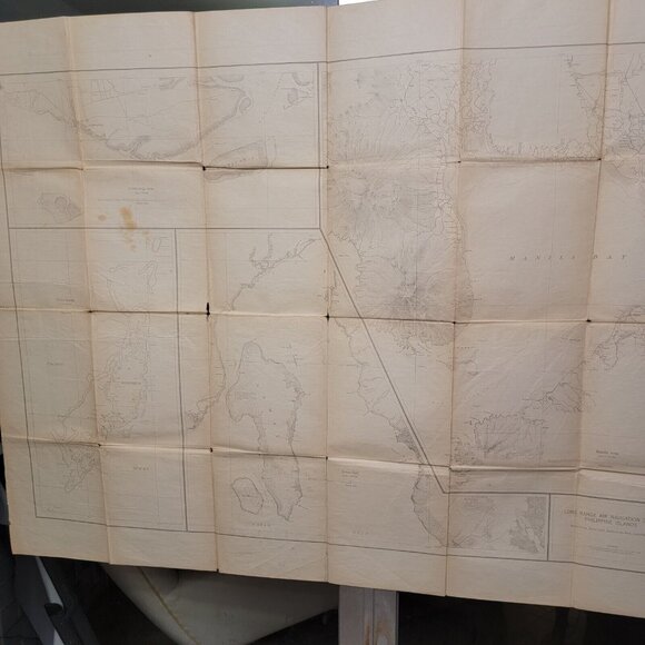
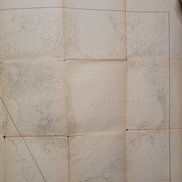
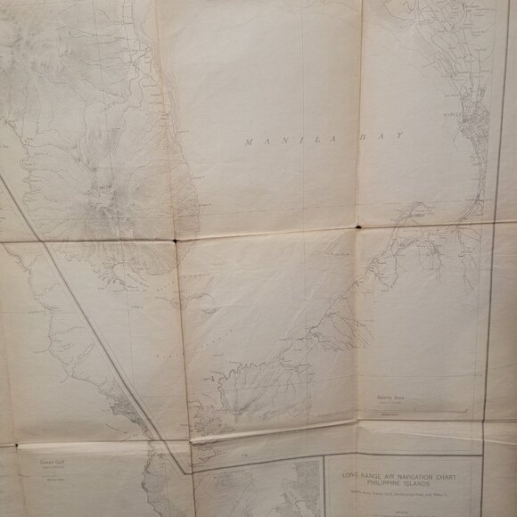
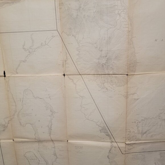
Feb 1944 WWII Amy Air Forces Long Range Navigation Chart Philippine Island Topo
$110 $111
Pay in 4 interest-free payments of $27.50
with ![]() .
Learn More
.
.
Learn More
.
Size
Like and save for later
Add To Bundle
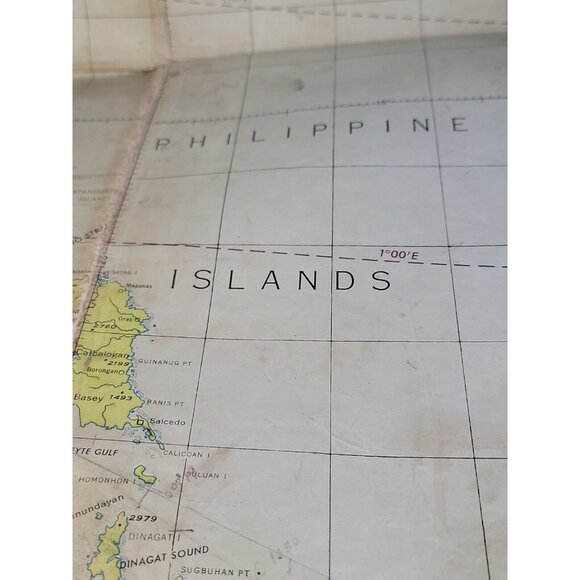
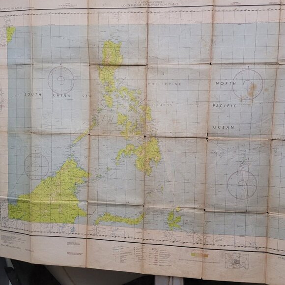
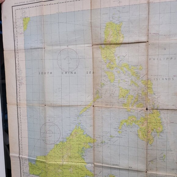
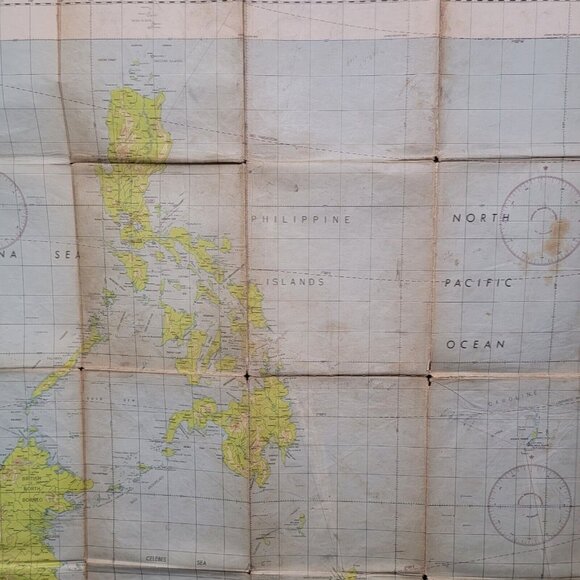
Feb 1944 WWII Amy Air Forces Long Range Navigation Chart Philippine Island Topographical Land map of the Island on the reverse side. This map is approx. 54" x 42". Some of the folds in the map are weak, but they all hold so far and are connected.
In October of this year, the US invaded the Philippines to retake the island.
Leland L Closet
Shipping/Discount
Posh Protect: Buyer Protection Policy
Get your order as described or receive your money back. Learn More.


Find Similar Listings
About the seller

@tomalof
Last Active: 10 hours ago
Clearwater, FL
5076
Listings100+
Sold Listings2 days
Avg. Ship time11
Love NotesAbout the seller
@tomalof
Last Active: 10 hours ago
Clearwater, FL
5076
Listings100+
Sold Listings2 days
Avg. Ship time11
Love Notes
Account is under Review
Comment posting is temporarily restricted. Our team will reach out to you shortly. To understand why, select
Learn More.
