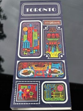
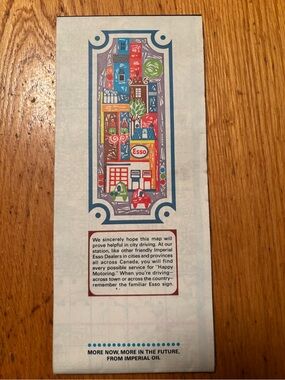
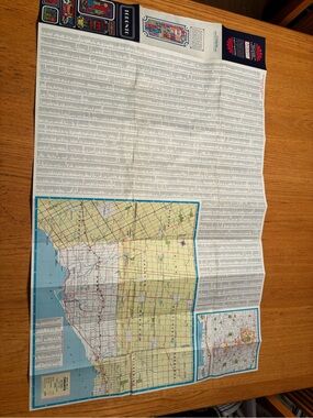
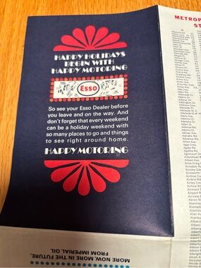
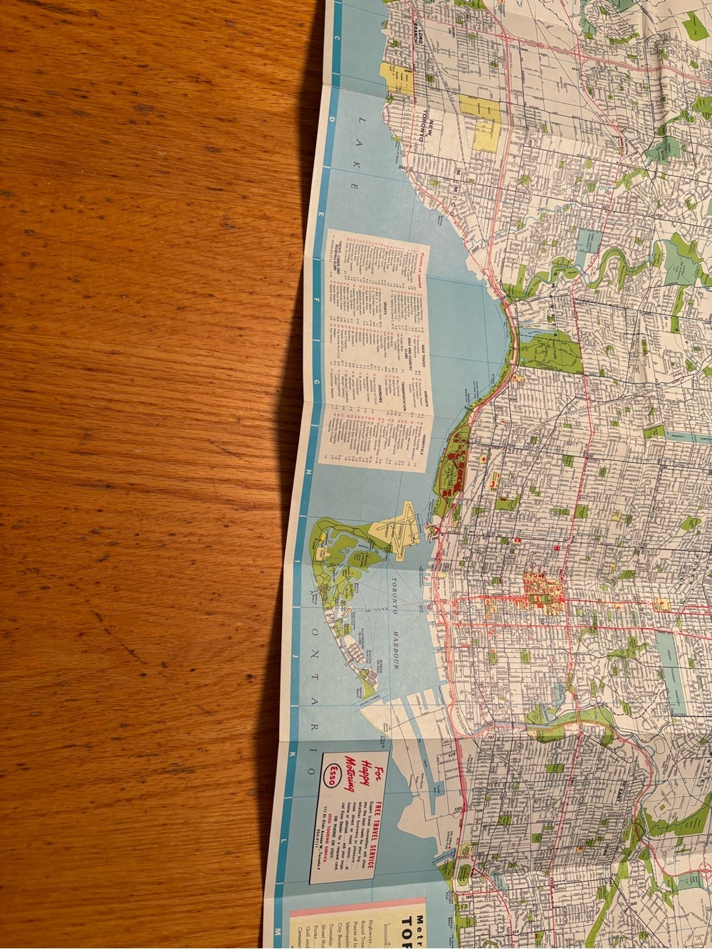
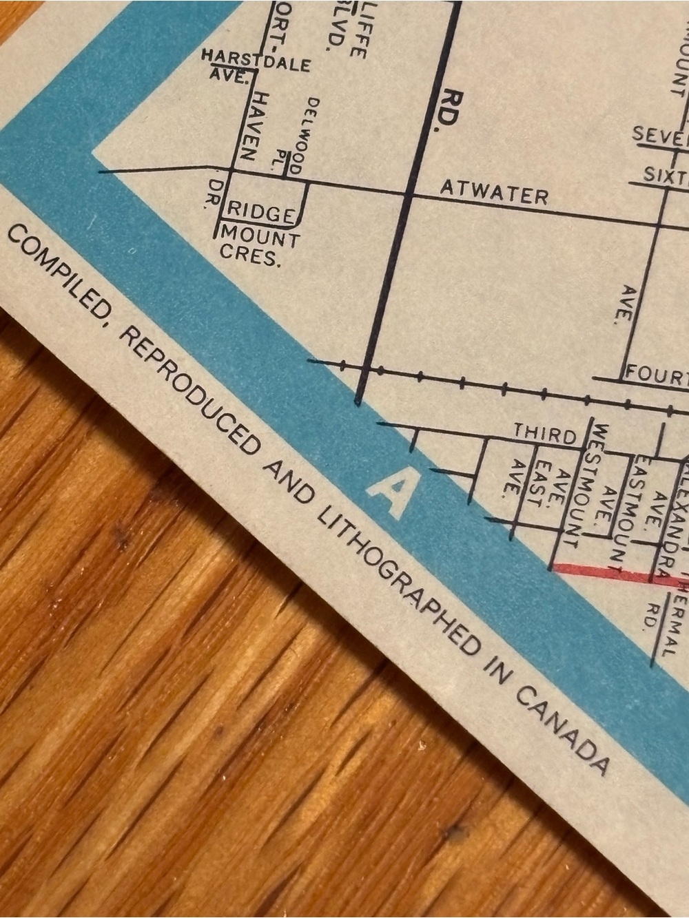
Vintage 1966 District Map of Toronto and Vicinity by Rolph Clark Stone
C$35
Pay in 4 interest-free payments of C$8.75 with Learn more
- Size
- OS
- Color
- BlueRed
- Category
- HomeOther
- Style Tags
- TorontoLithography60s
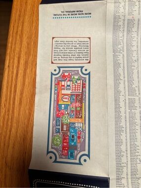
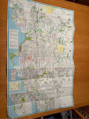
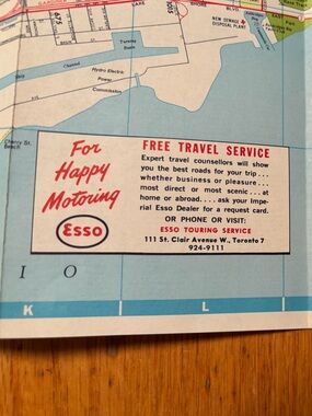
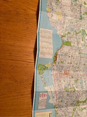
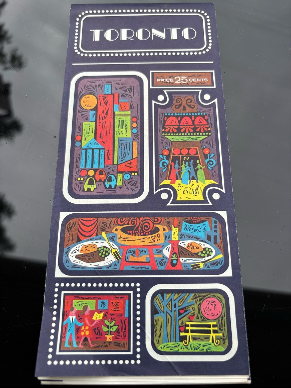
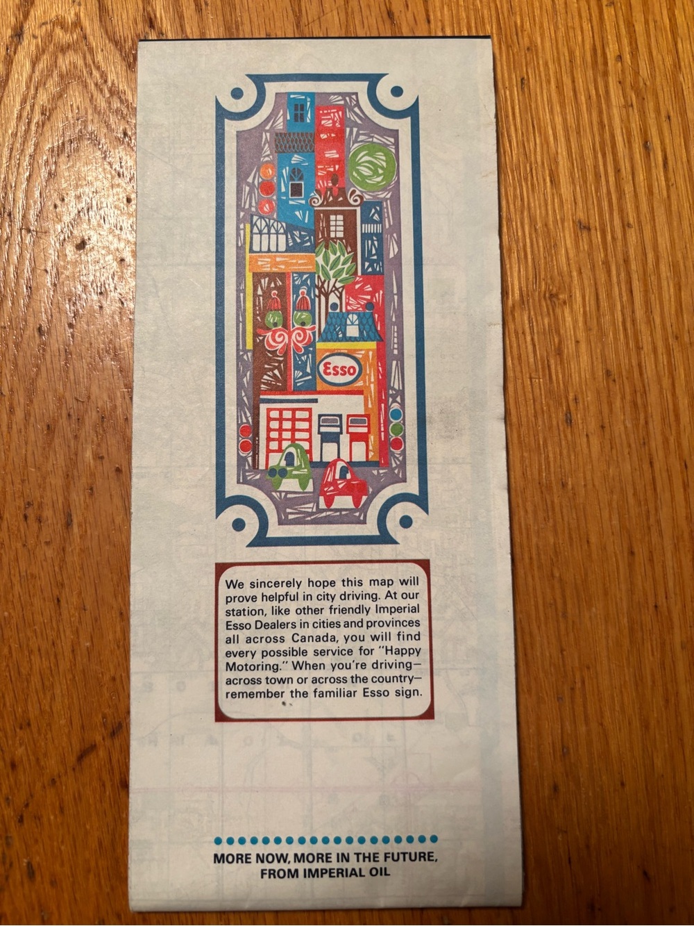
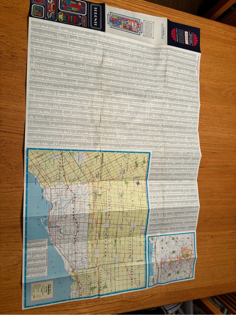
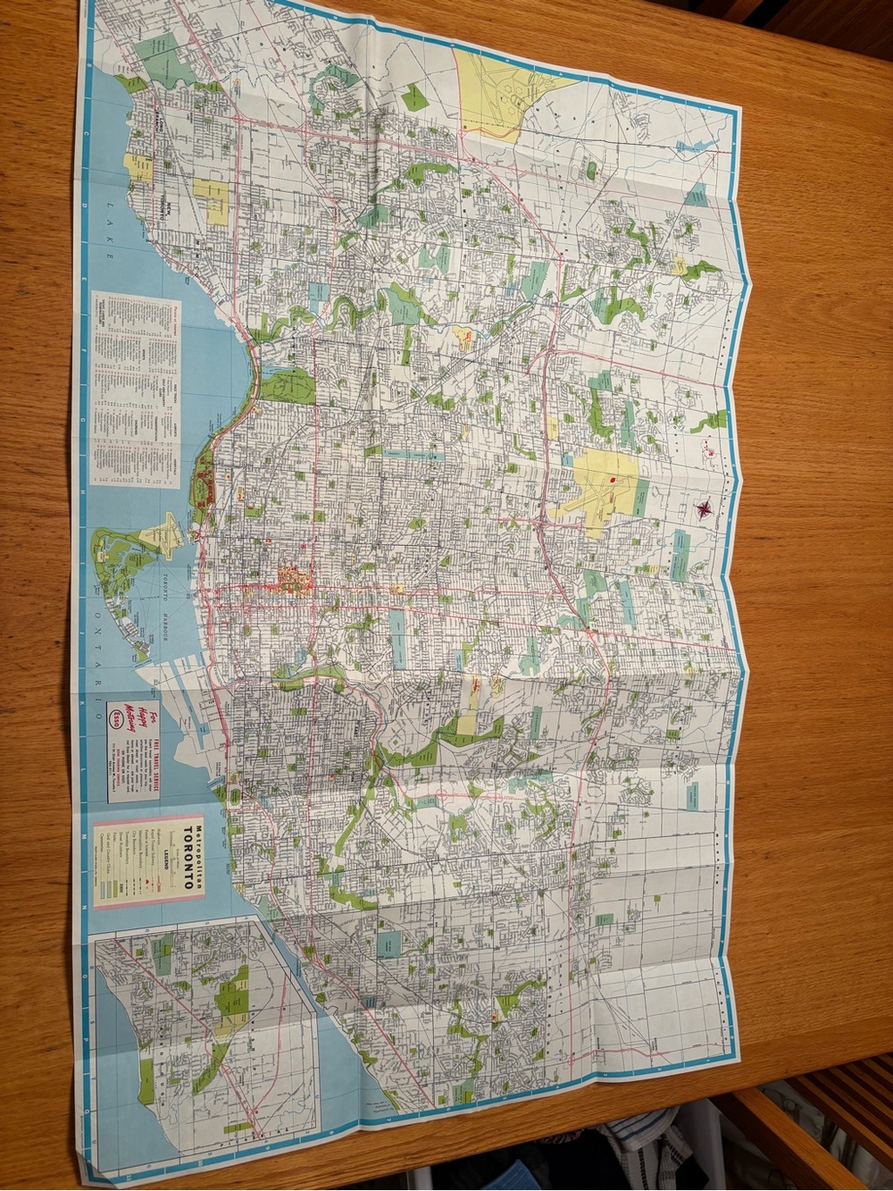
A fantastic, authentic slice of Ontario history! This original 1966 folding road map offers a wonderful look at the geography of Toronto and its surrounding areas just before the late-1960s suburban boom.
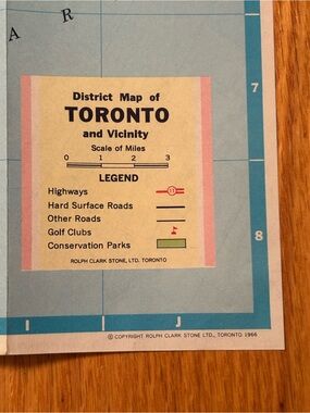
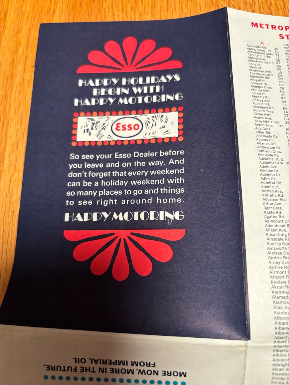
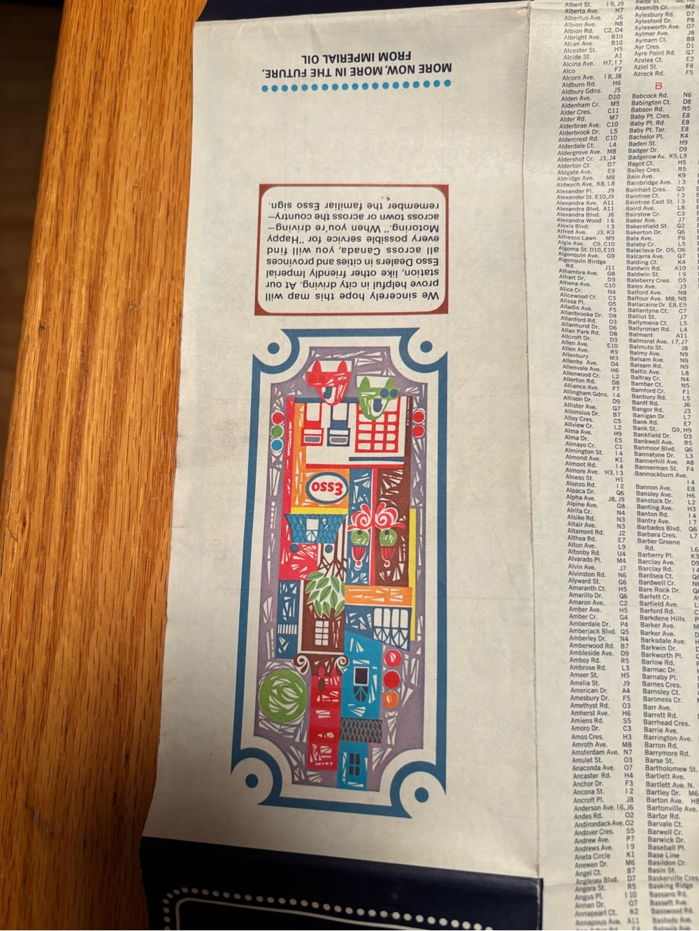
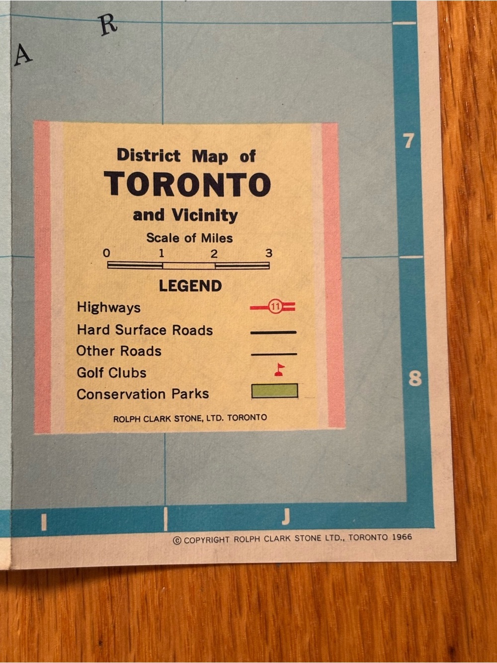
This specific piece features a beautifully preserved, clean legend panel printed by Rolph Clark Stone, Ltd. Toronto—one of Toronto's most famous historic mid-century lithographic and map-making firms. The legend showcases classic retro typography and map detailing, tracking everything from old provincial highways to long-standing golf courses and conservation parks.
An amazing find for:
-Collectors of vintage Canadian and Toronto memorabilia / ephemera
-Retro home, cottage, or studio decor
-Framing as unique, colorful mid-century modern wall art!
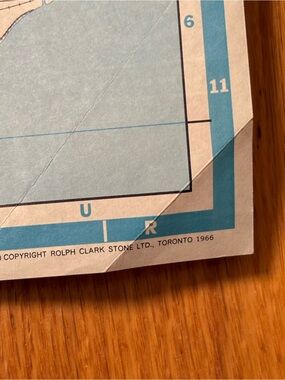
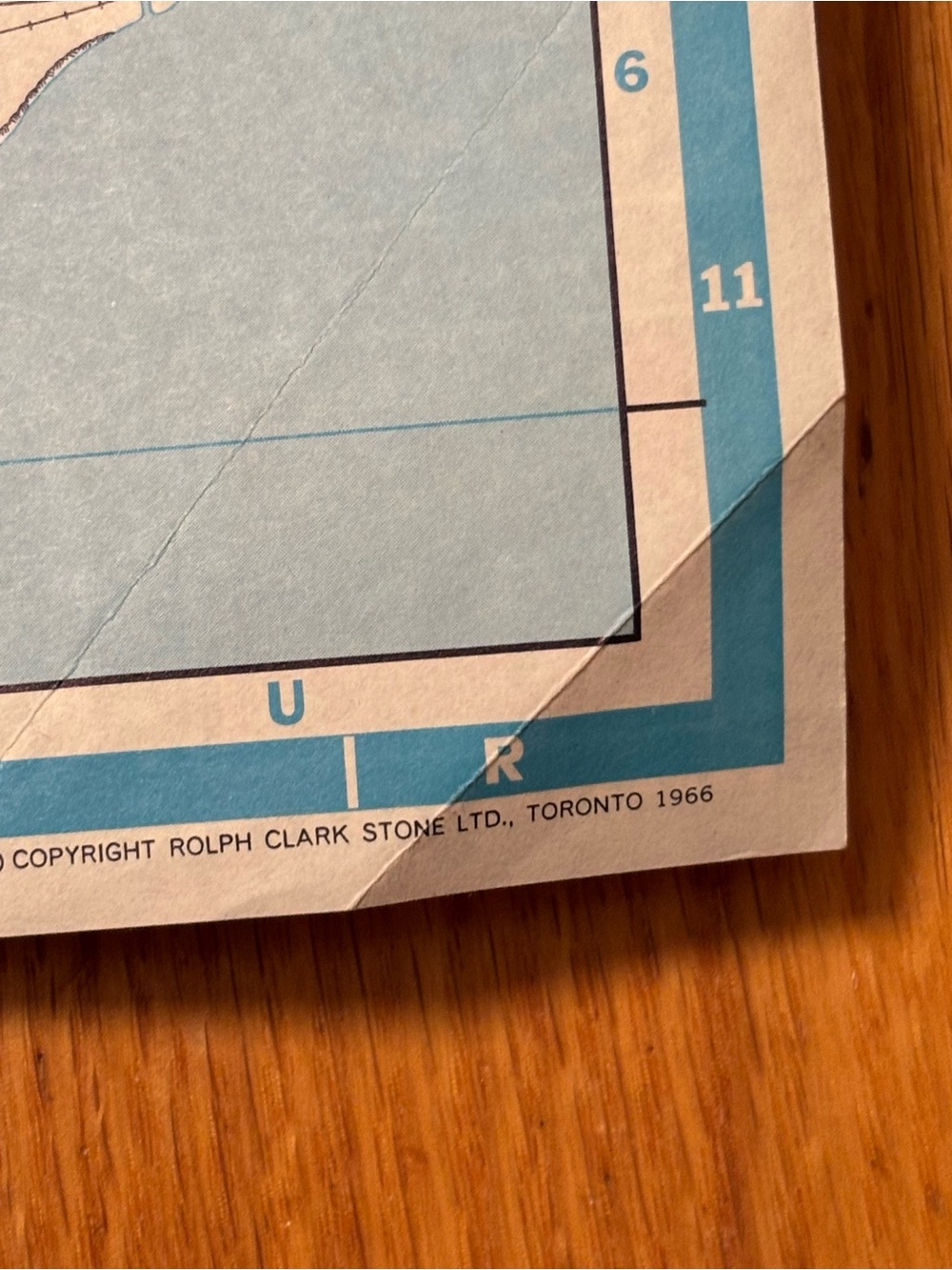
Fold in one corner as shown in photo .
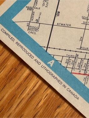
No rips or pen marks.
Like To Get Deals!

Trust & Shipping
Posh Protect (Included)
Get a refund if your order never ships or is not as described.
Shipping
C$12.49 Expedited (1-7 day) on all orders























Account is under Review
Comment posting is temporarily restricted. Our team will reach out to you shortly. To understand why, select
Learn More.
Still Selling This?
Yes, this item is still for sale.
I don’t want to sell this item right now.
I no longer have this item.
Delete Listing?
This action cannot be undone. You will no longer see this listing in your closet and your account will not be affected.

Comments