Vintage 1940s 1950s National Geographic Maps Antarctica Africa Far East Lot
Good
$33
Pay in 4 interest-free payments of $8.25
with  .
Learn More
.
.
Learn More
.
Size
Like and save for later
Add To Bundle
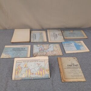
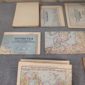
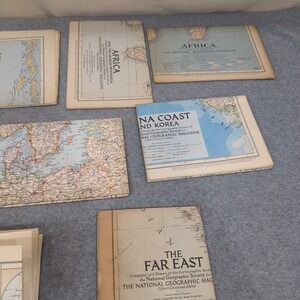
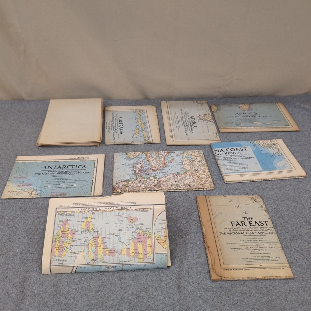
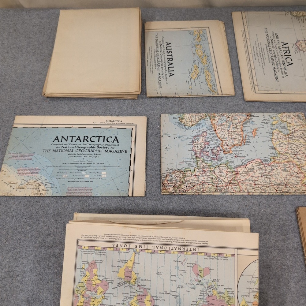
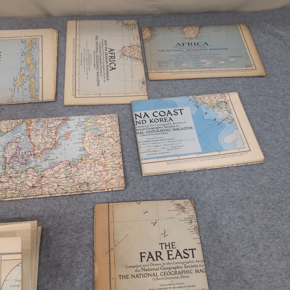
Collection of authentic vintage National Geographic Society folding maps dating from the 1940s and 1950s. These cartographic supplements were originally issued with the National Geographic Magazine and cover various global regions including Antarctica, Africa, Australia, and the Far East.
9 Maps:
World x 2 (different)
Antarctica
Australia
Far East
Europe
China Coast
Africa x 2
• Condition: VG (Very Good) with expected age-toning and shelf wear
• Era: 1940s-1950s
• Publisher: National Geographic Society
• Format: Large-scale folding paper maps
• Subjects: Antarctica, Africa, China Coast, The Far East, Australia, and World Time Zones
Items are packaged securely and shipped fast.
Keywords: cartography, ephemera, mid century, geography, wall art, historical, paper goods, collectibles, world travel, educational
Check out all of our similar items!
Shipping/Discount

Posh Protect: Buyer Protection Policy
Get your order as described or receive your money back. Learn More.


ddingess74
and
one other
like this







Find Similar Listings
About the seller

@colporteurbooks
Last Active: 16 hours ago
Lineville, AL
6127
Listings500+
Sold Listings<1 day
Avg. Ship time44
Love NotesAbout the seller
@colporteurbooks
Last Active: 16 hours ago
Lineville, AL
6127
Listings500+
Sold Listings<1 day
Avg. Ship time44
Love Notes
Account is under Review
Comment posting is temporarily restricted. Our team will reach out to you shortly. To understand why, select
Learn More.
Still Selling This?
Yes, this item is still for sale.
I don’t want to sell this item right now.
I no longer have this item.
Delete Listing?
This action cannot be undone. You will no longer see this listing in your closet and your account will not be affected.
