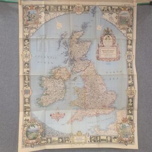
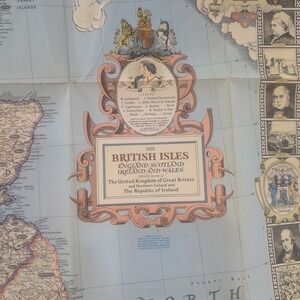
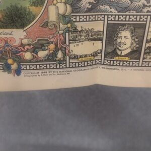
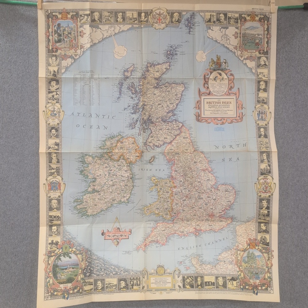
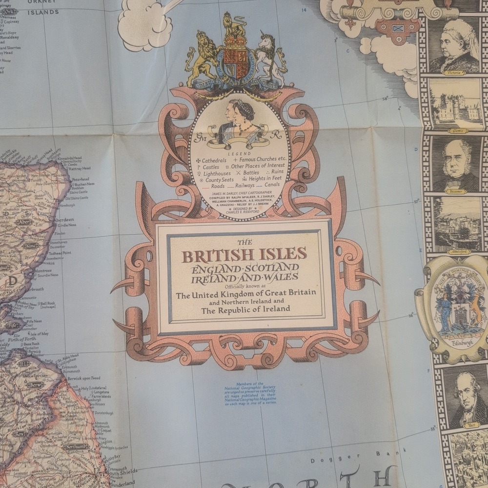
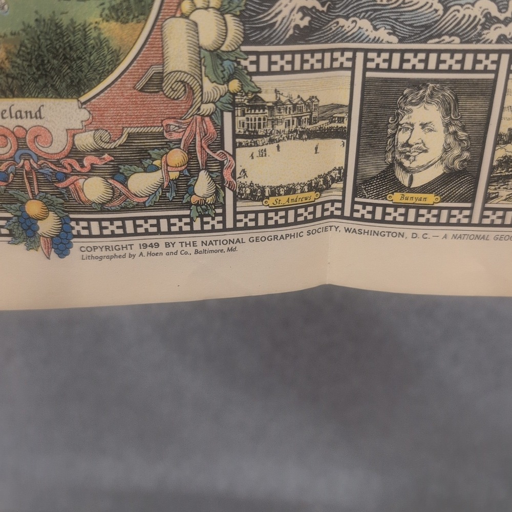
Vtg 1949 National Geographic British Isles Map England Scotland Ireland Wales
$20
- Size
- OS
- Condition
- Good
- Color
- TanBlue
- Category
- HomeArtPosters
- Style Tags
- Retro
This 1949 National Geographic map features the British Isles, including England, Scotland, Ireland, and Wales. It serves as a detailed cartographic reference and a decorative historical document.
• Condition: VG-
• Brand: National Geographic Society
• Year: 1949
• Material: Paper
• Theme: Cartography / History
• Features: Illustrated border with historical figures and landmarks
Item will be packaged securely and shipped quickly.
Keywords: cartography, vintage ephemera, united kingdom, wall art, geography, mid century, historical document, great britain, collectible paper, 1940s decor
Check out all of our similar items!
Like To Get Deals!




Trust & Shipping
Posh Protect (Included)
Get a refund if your order never ships or is not as described.
Shipping
$6.49






























Account is under Review
Comment posting is temporarily restricted. Our team will reach out to you shortly. To understand why, select
Learn More.
Still Selling This?
Yes, this item is still for sale.
I don’t want to sell this item right now.
I no longer have this item.
Delete Listing?
This action cannot be undone. You will no longer see this listing in your closet and your account will not be affected.

Comments