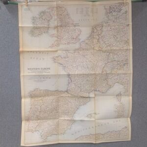
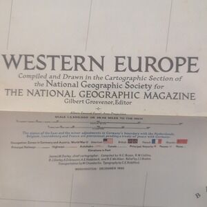
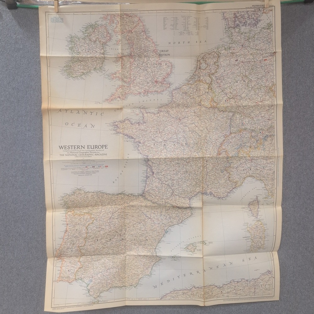
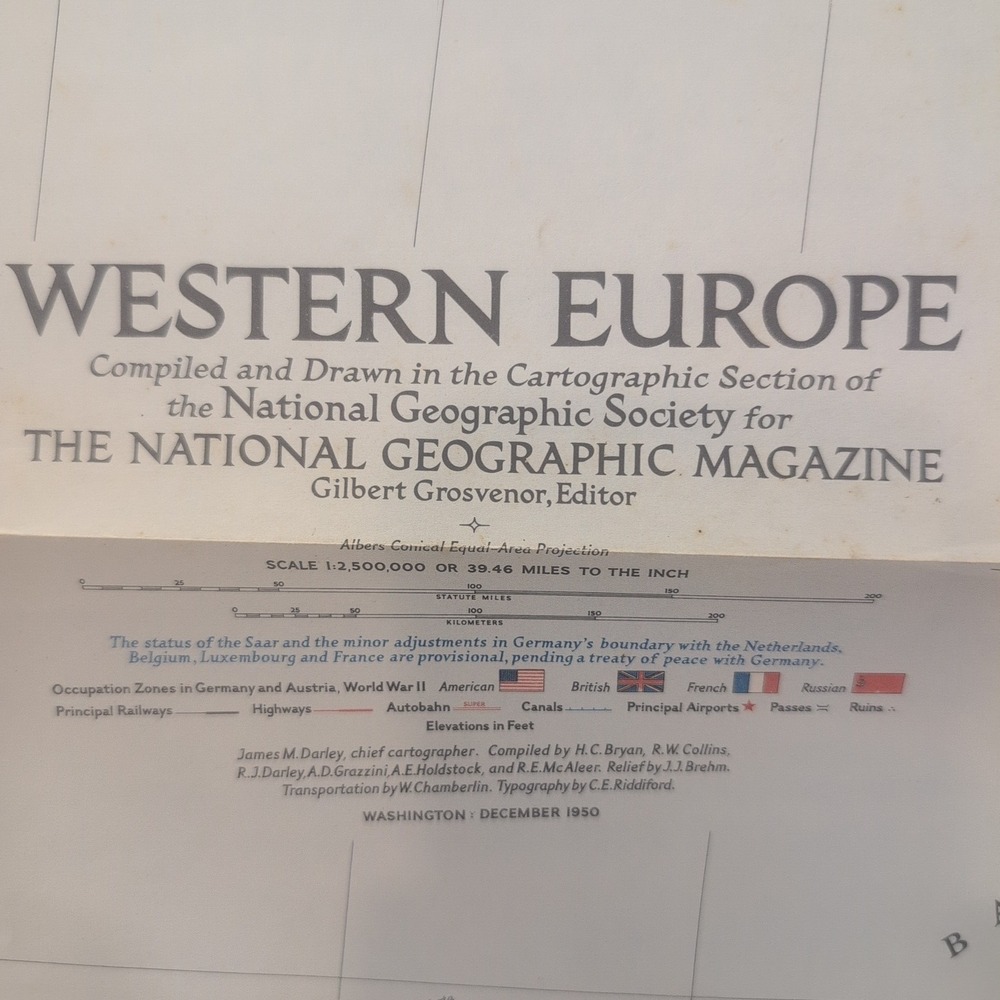
Vtg 1950 National Geographic Western Europe Map WWII Occupation Zones 37x28.5
Size

Posh Protect: Buyer Protection Policy
Get your order as described or receive your money back. Learn More.
Shipping/Discount
Like and save for later
Add To Bundle
This 1950 National Geographic map of Western Europe provides a detailed cartographic view of the region during the post-World War II era. It serves as a historical reference for geography enthusiasts and collectors interested in mid-century European boundaries and infrastructure.
• Condition: VG-
• Publication Date: December 1950
• Publisher: National Geographic Society
• Features: WWII Occupation Zones, railways, and highways
• Scale: 1:2,500,000
• Dimensions: 37" x 28.5"
Item will be securely packaged and shipped quickly.
Keywords: cartography, vintage ephemera, post-war history, germany occupation, wall art, mid-century decor, geography, collectible paper, world war ii, educational resource
Check out all of our similar items!








Find Similar Listings

@colporteurbooks
6126
Listings500+
Sold Listings<1 day
Avg. Ship time45
Love Notes@colporteurbooks
6126
Listings500+
Sold Listings<1 day
Avg. Ship time45
Love Notes
Account is under Review
Comment posting is temporarily restricted. Our team will reach out to you shortly. To understand why, select
Learn More.
Still Selling This?
Yes, this item is still for sale.
I don’t want to sell this item right now.
I no longer have this item.
Delete Listing?
This action cannot be undone. You will no longer see this listing in your closet and your account will not be affected.
