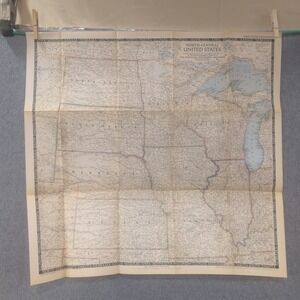
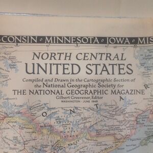
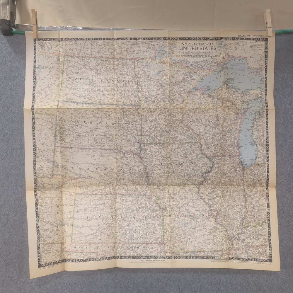
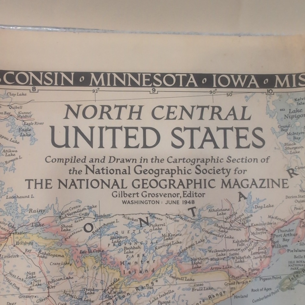
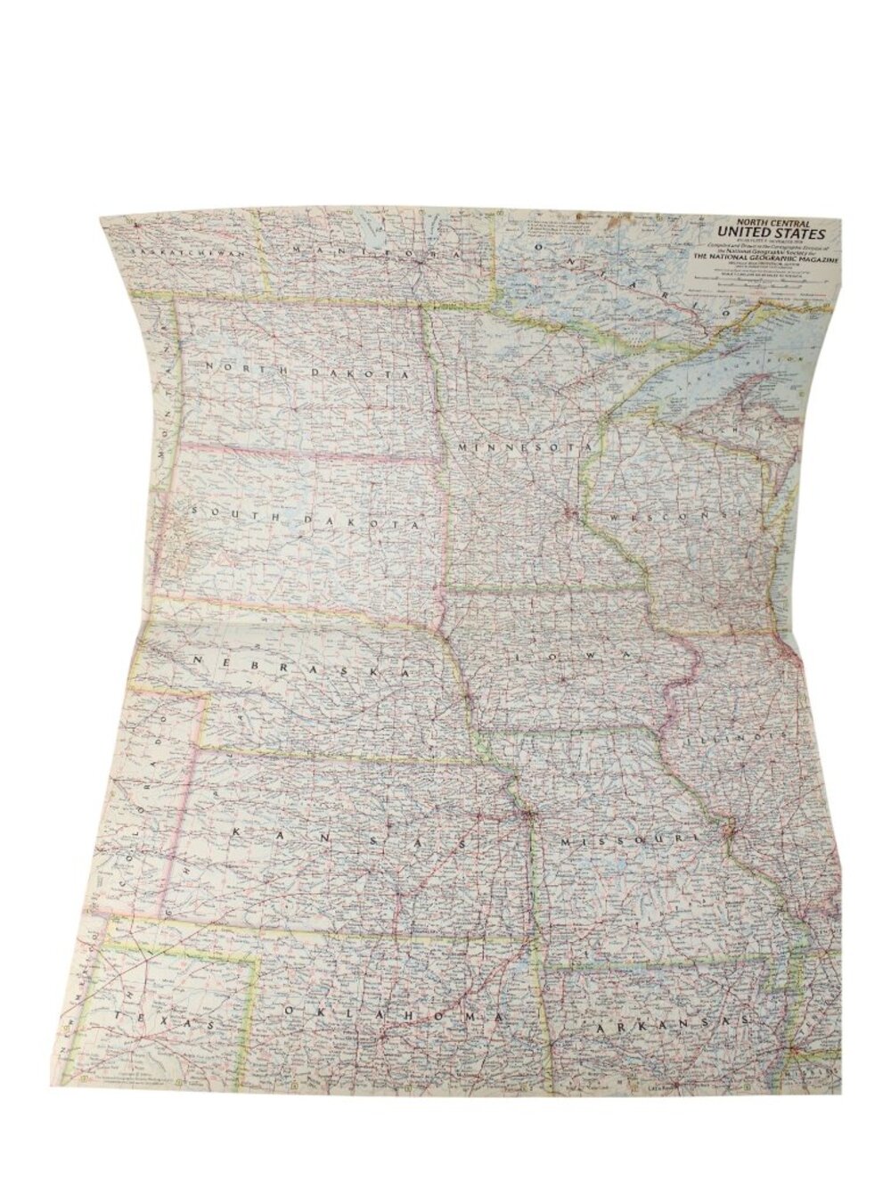
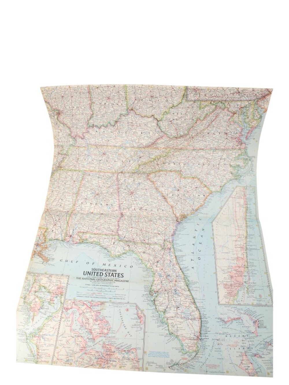
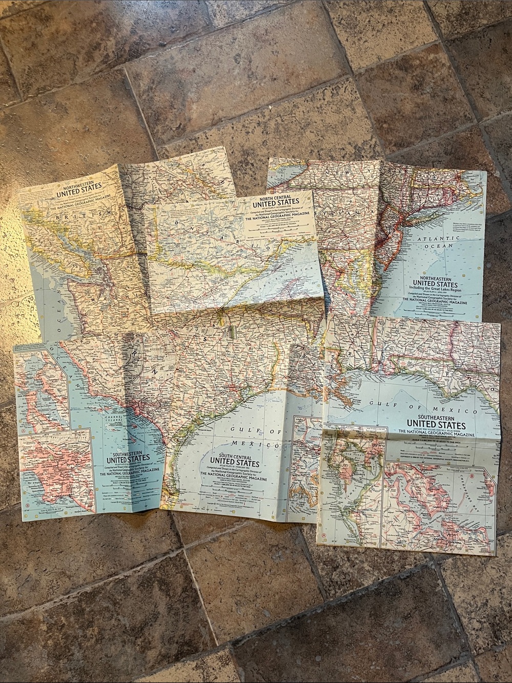
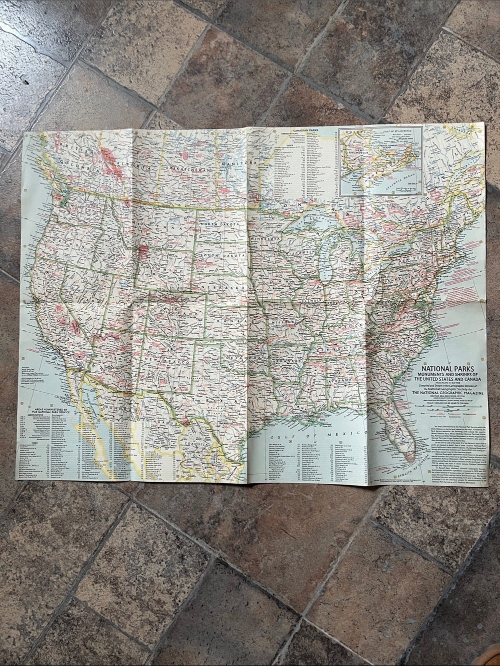
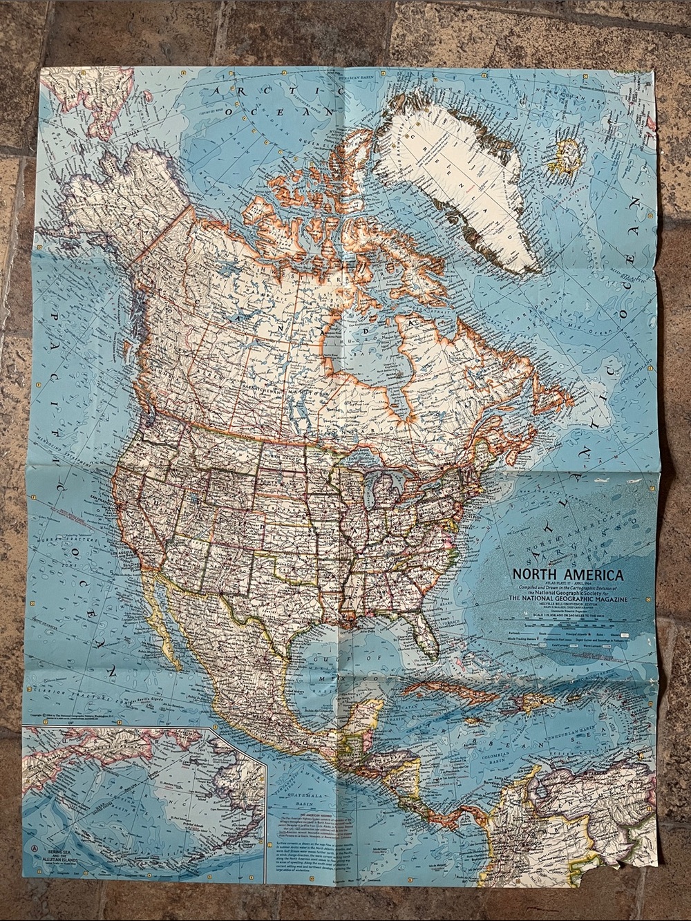
1948 National Geographic North Central United States Map Vintage Fold Out 27x26
$20
- Size
- OS
- Condition
- Good
- Color
- CreamBrown
- Category
- HomeArtPrints
- Brand
- National Geographic
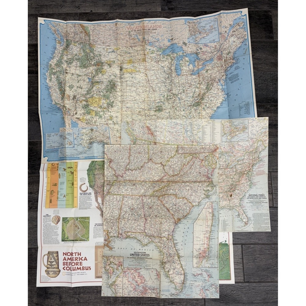
Vintage 1948 National Geographic map of the North Central United States, including North Dakota, South Dakota, Minnesota, Nebraska, Iowa, Missouri, Kansas, and Illinois. This fold-out paper map was compiled and drawn by the Cartographic Section for the June 1948 issue of the magazine.
• Brand: National Geographic
• Year: 1948
• Region: North Central United States
• Material: Paper
• Condition: VG (Very Good) with original fold lines
• Editor: Gilbert Grosvenor
Measurements:
• Height: 26"
• Width: 27.5"
Secure packaging and fast shipping.
Keywords: cartography, mid-century, midwest, geography, ephemera, wall art, decor, historical, collectible, paper goods
Check out all of our similar items!
Like To Get Deals!


Trust & Shipping
Posh Protect (Included)
Get a refund if your order never ships or is not as described.
Shipping
$6.49











Account is under Review
Comment posting is temporarily restricted. Our team will reach out to you shortly. To understand why, select
Learn More.
Still Selling This?
Yes, this item is still for sale.
I don’t want to sell this item right now.
I no longer have this item.
Delete Listing?
This action cannot be undone. You will no longer see this listing in your closet and your account will not be affected.

Comments