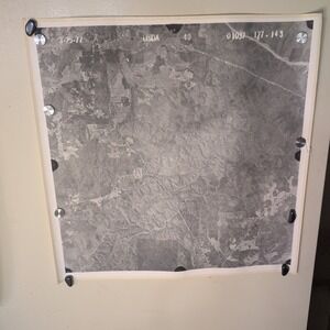
Vintage 1977 USDA Aerial Survey Photo Coosa County Alabama Series of 27 Maps
$190
Pay in 4 interest-free payments of $47.50 with Learn more
- Size
- OS
- Condition
- Good
- Color
- GrayWhite
- Category
- HomeArt
- Brand
- USDA
- Style Tags
- Eclectic GrandpaTravelVintage
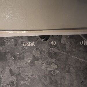
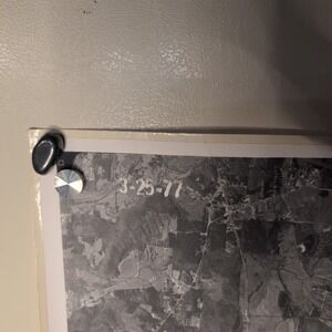
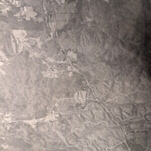
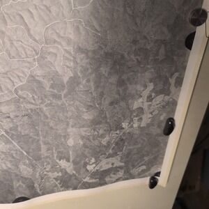
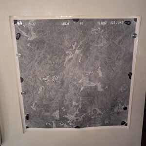
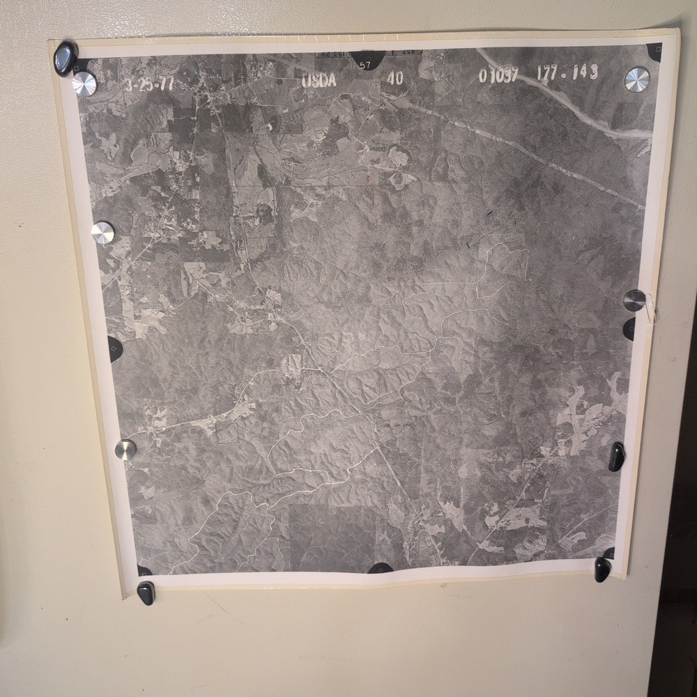
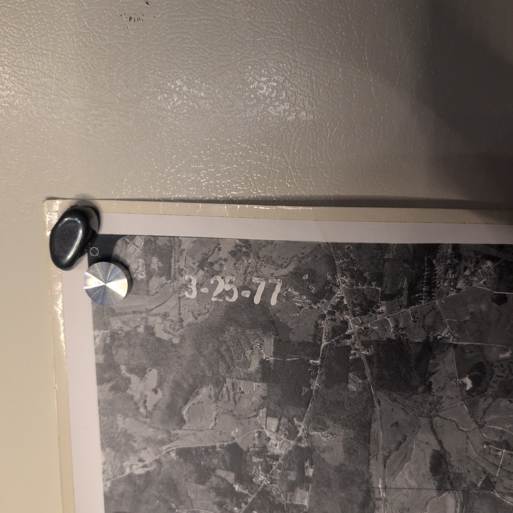
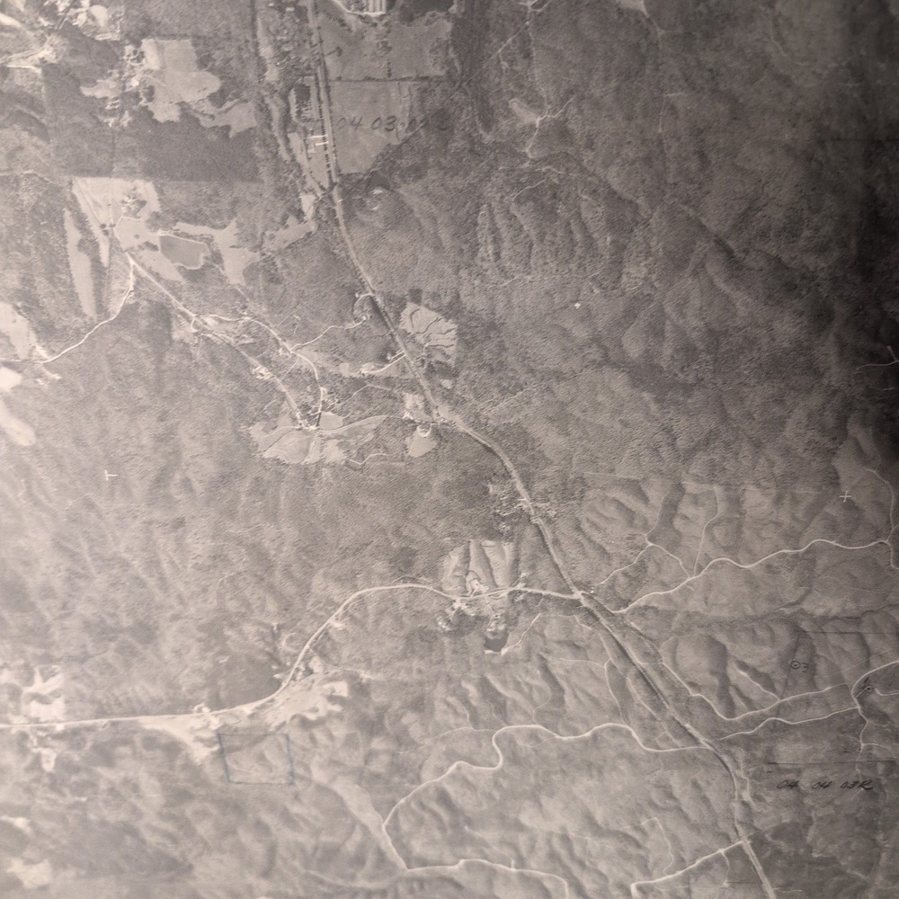
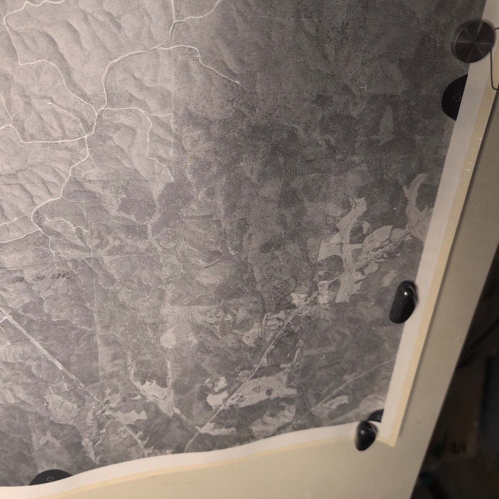
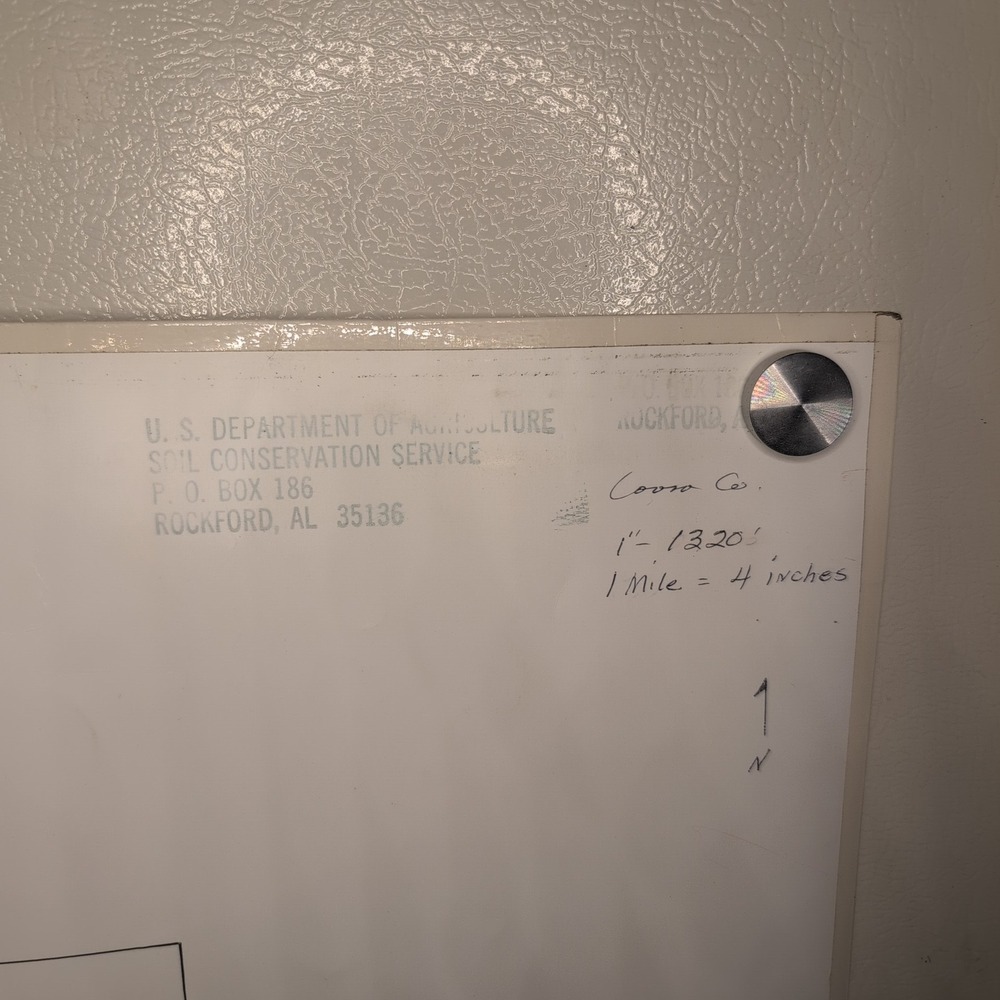
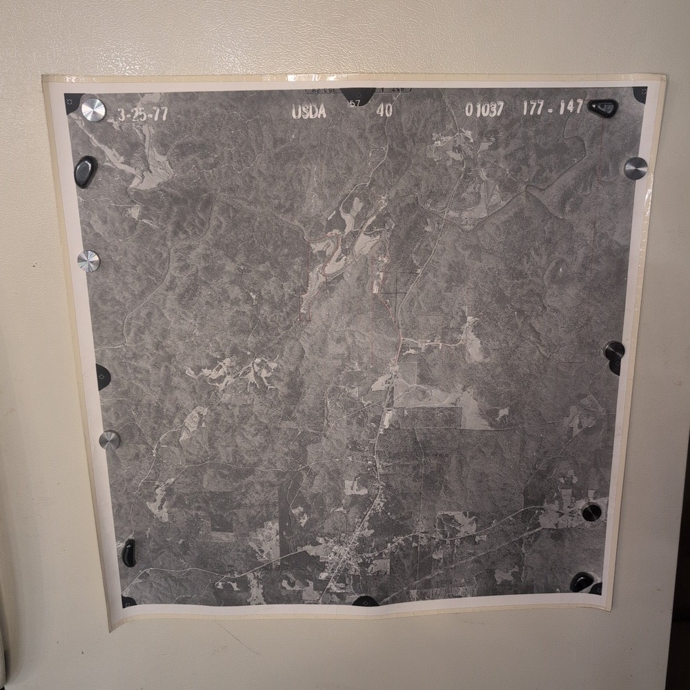
This vintage aerial survey photograph features a high-altitude view of Coosa County, Alabama, captured for the U.S. Department of Agriculture Soil Conservation Service. Dated March 25, 1977, the black and white image provides a detailed historical record of the regional landscape, including topography, vegetation, and rural infrastructure.
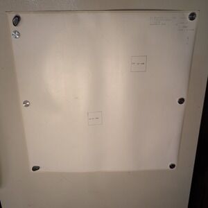
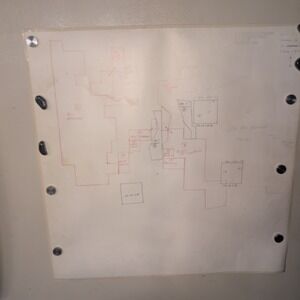
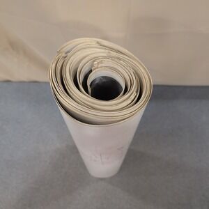
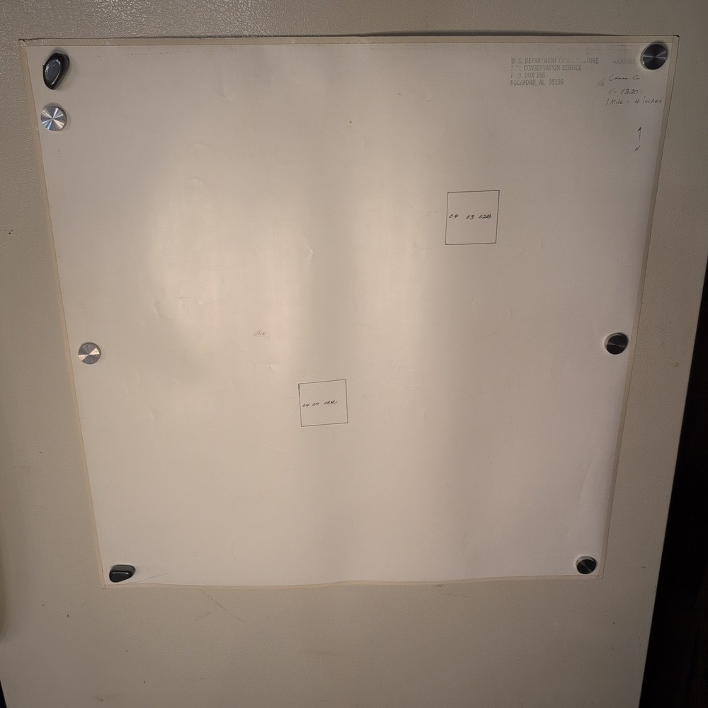
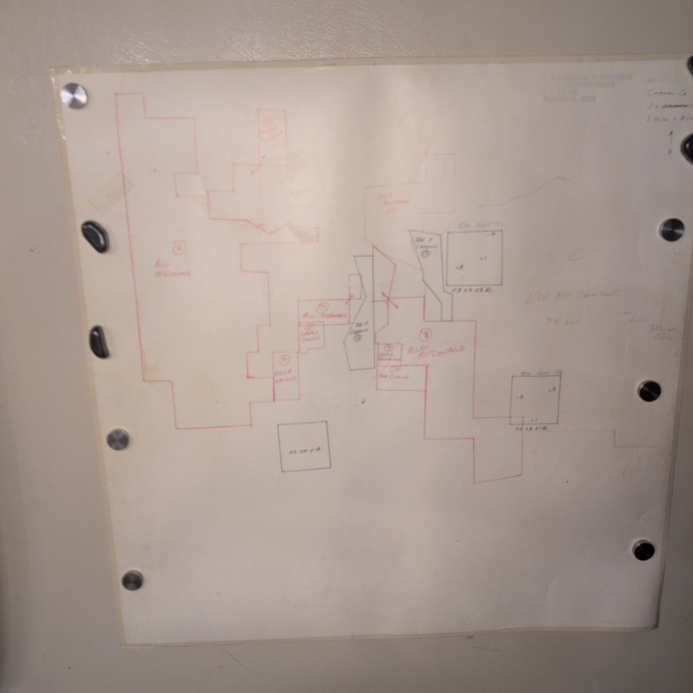
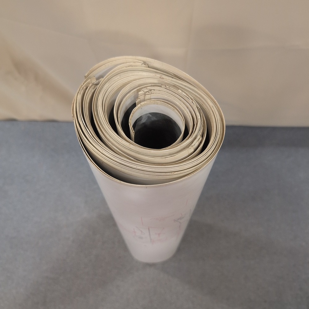
27 Maps total, shown are representative examples. Each map is 24" × 24" with reinforced edges. Can be tiled together. Reverse side has hand marked properties of significance notated.
- Authentic USDA Soil Conservation Service aerial survey print
- Location: Coosa County, Alabama (Rockford area)
- Date: March 25, 1977
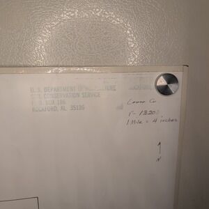
- Scale: 1 inch = 1320 feet (1 mile = 4 inches)
- Condition: VG
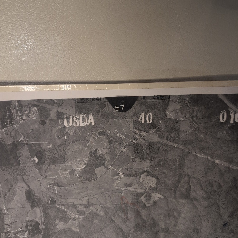
- Features original identification stamps and handwritten notations on the reverse
Secure packaging and fast shipping.
Keywords: vintage map, aerial photography, coosa county alabama, usda history, cartography, 1970s decor, soil conservation, topography, historical documents, black and white print
Check out all of our similar items!
Like To Get Deals!

Trust & Shipping
Posh Protect (Included)
Get a refund if your order never ships or is not as described.
Shipping
$6.49






























Account is under Review
Comment posting is temporarily restricted. Our team will reach out to you shortly. To understand why, select
Learn More.
Still Selling This?
Yes, this item is still for sale.
I don’t want to sell this item right now.
I no longer have this item.
Delete Listing?
This action cannot be undone. You will no longer see this listing in your closet and your account will not be affected.

Comments