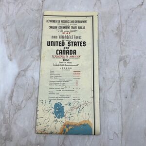
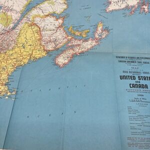
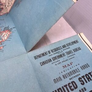
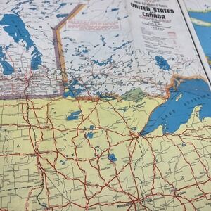
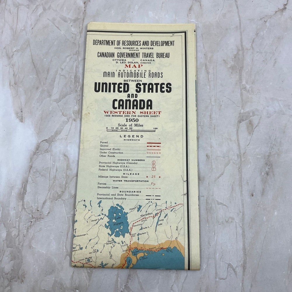
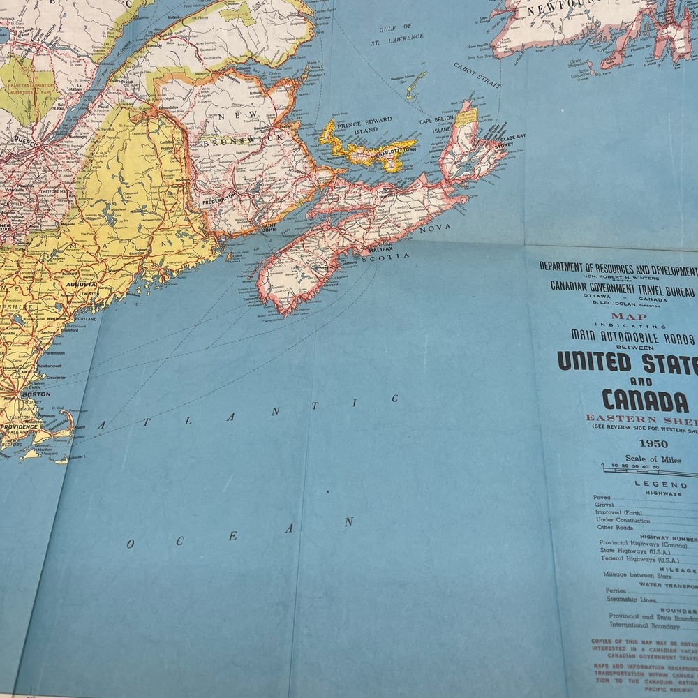
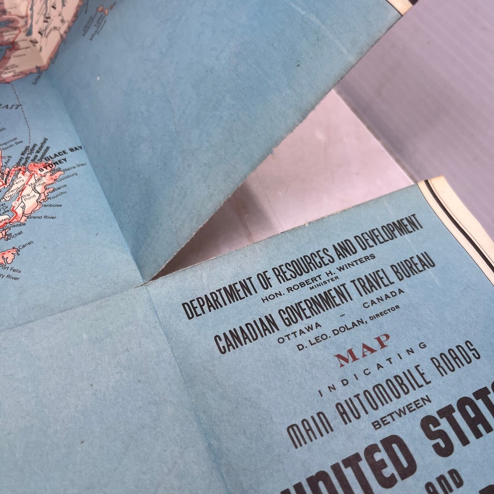
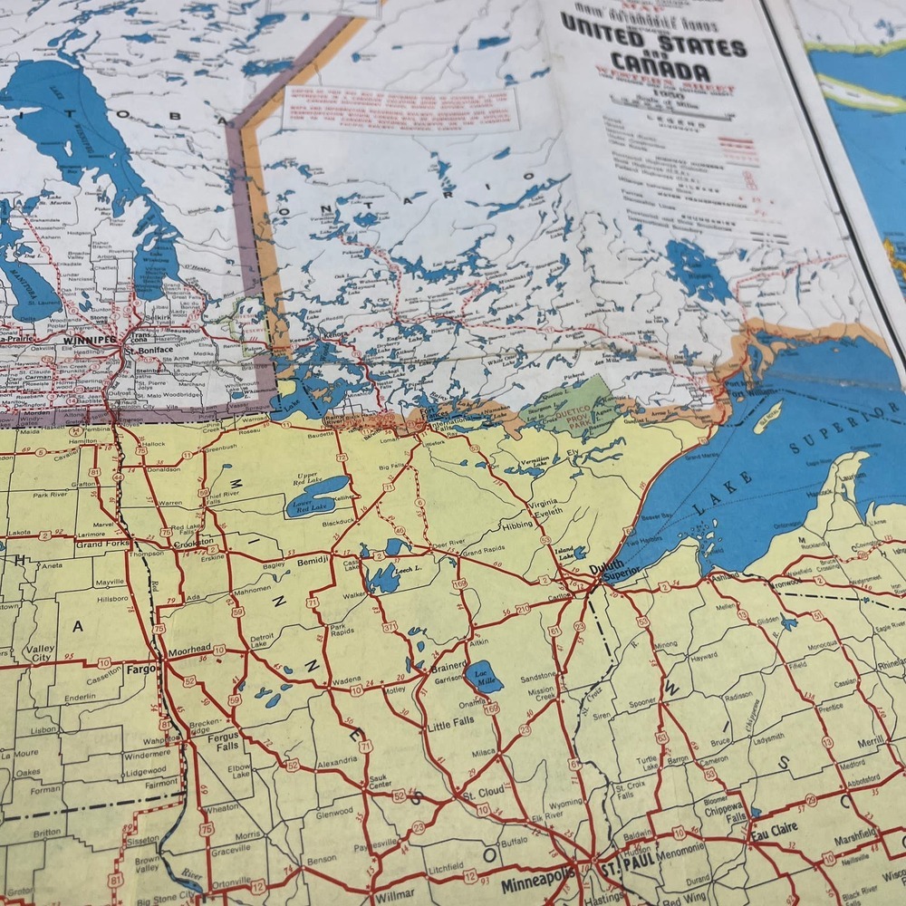
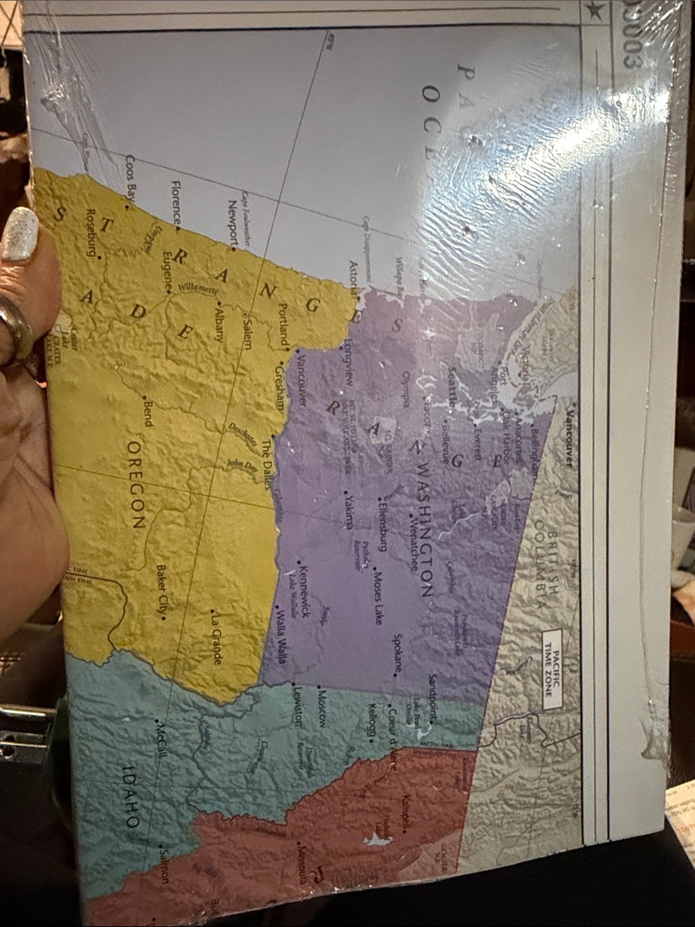
1950 Main Automobile Routes Between United States and Canada Fold Out Map TF5-L2
Size

Posh Protect: Buyer Protection Policy
Get your order as described or receive your money back. Learn More.
Shipping/Discount
Like and save for later
Add To Bundle
Has a couple small tears, overall pretty good shape. See pics for condition.
1950 Main Automobile Routes Between United States and Canada Fold Out Map TF5-L2












Find Similar Listings

@ee_finds
46273
Listings200+
Sold Listings1 day
Avg. Ship time20
Love Notes@ee_finds
46273
Listings200+
Sold Listings1 day
Avg. Ship time20
Love Notes
Account is under Review
Comment posting is temporarily restricted. Our team will reach out to you shortly. To understand why, select
Learn More.
Still Selling This?
Yes, this item is still for sale.
I don’t want to sell this item right now.
I no longer have this item.
Delete Listing?
This action cannot be undone. You will no longer see this listing in your closet and your account will not be affected.
