


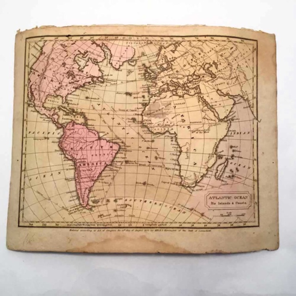
Antique Hand Colored 1830 Map- Atlantic Coastlines
$50
Pay in 4 interest-free payments of $12.50
with ![]() .
Learn More
.
.
Learn More
.
Size
Like and save for later
Add To Bundle
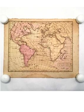
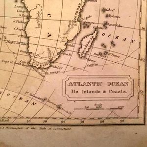
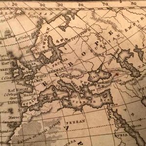
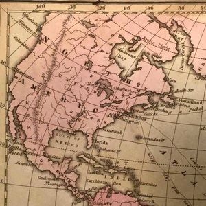
Antique Original Hand Colored Map - 1830 - Atlantic Ocean Coastlines
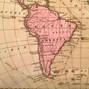
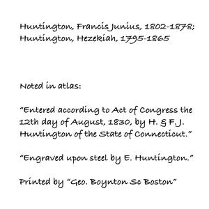
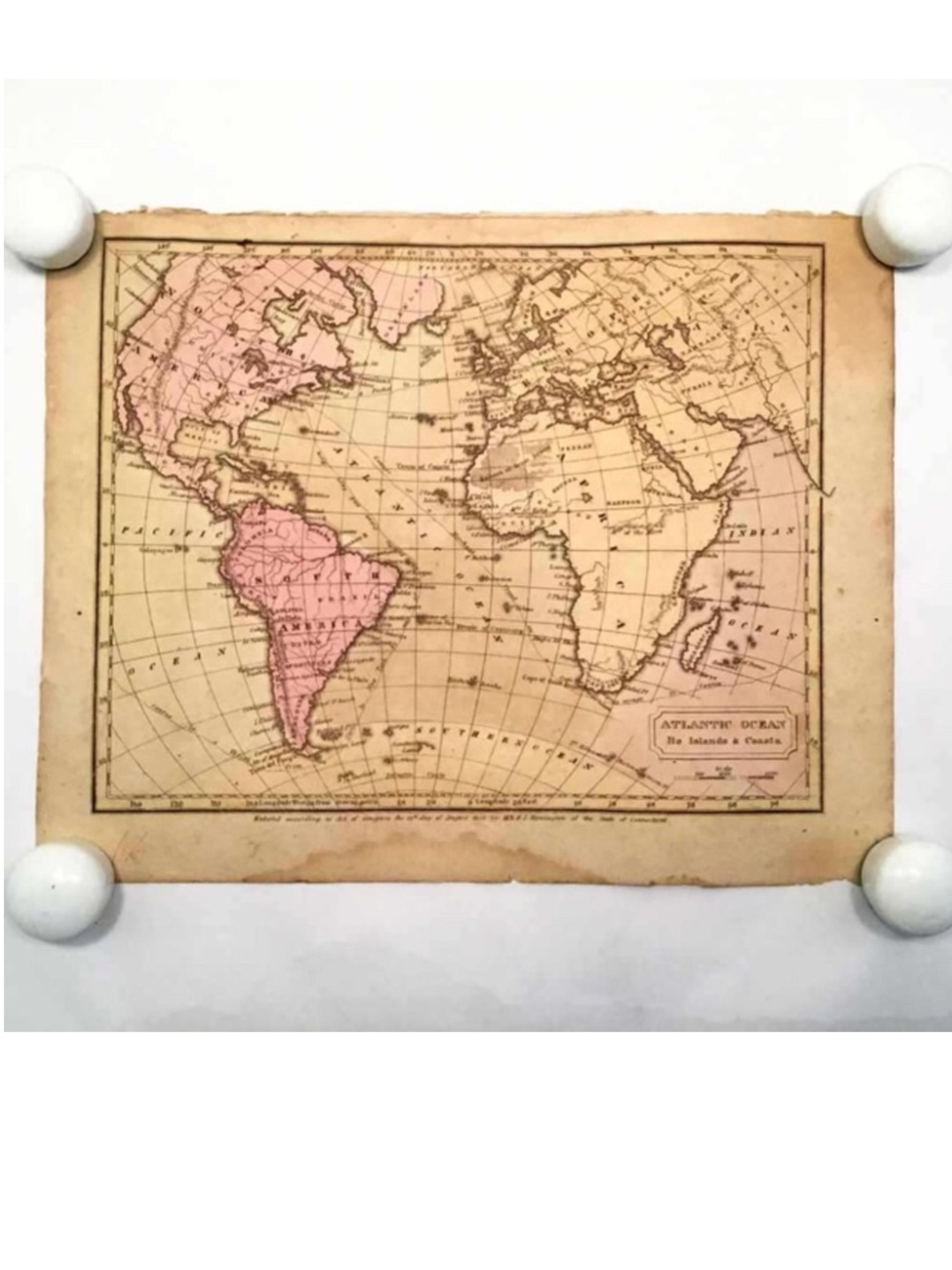
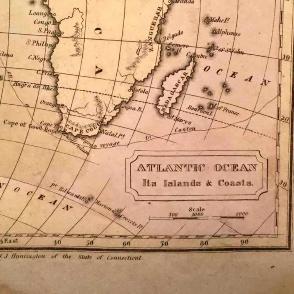
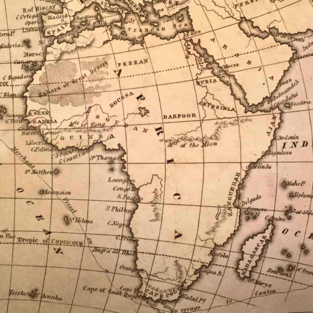
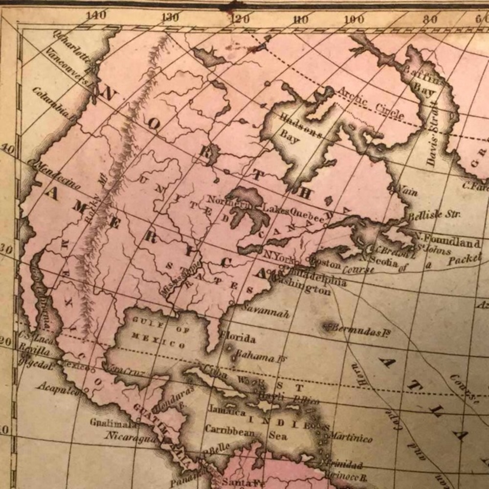
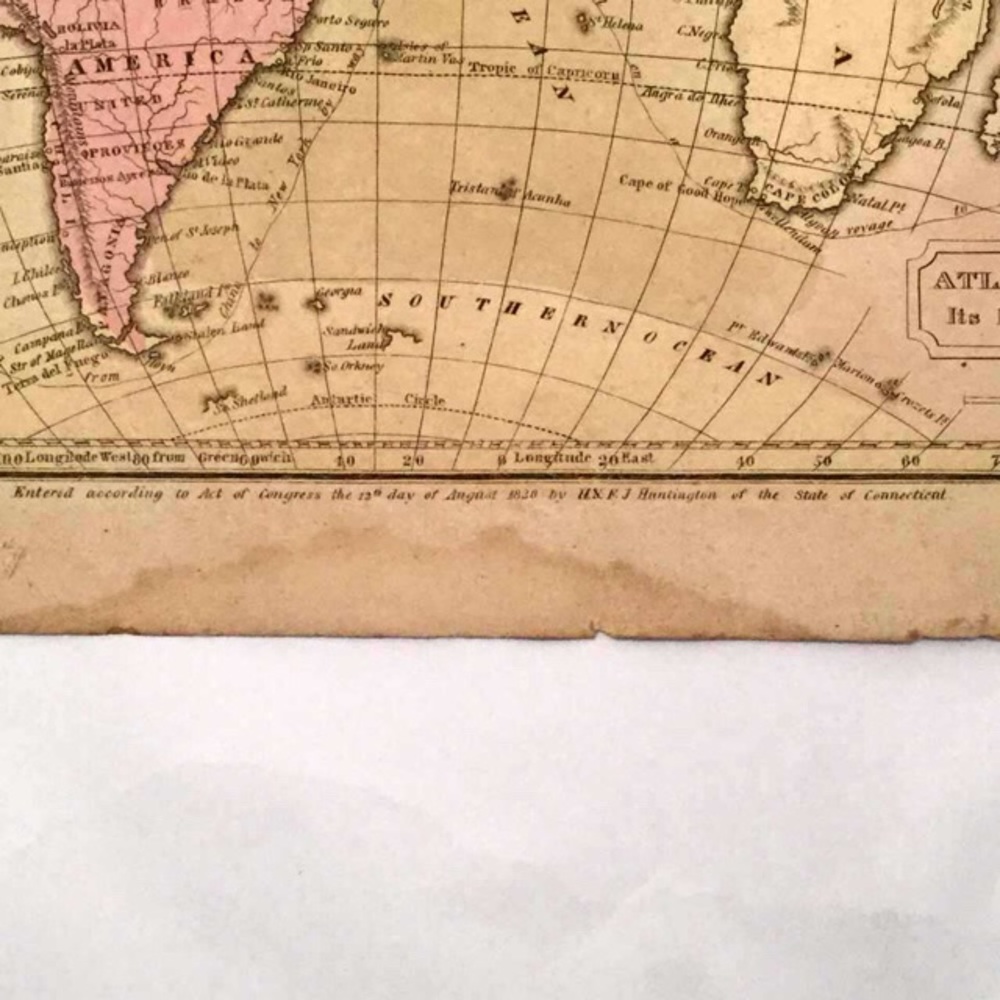
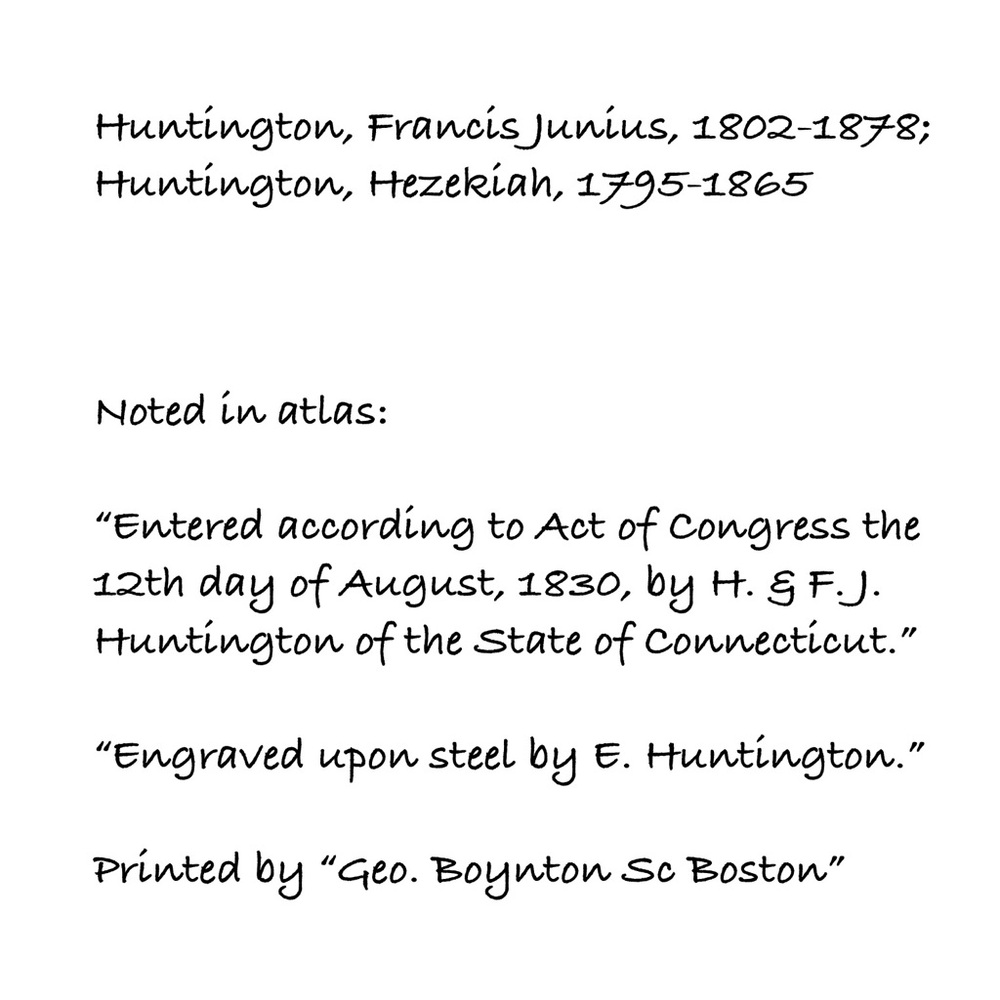
This is an original page from the atlas of maps published by H. & F. J. Huntington in 1830. Shows all countries bordering the Atlantic Ocean.
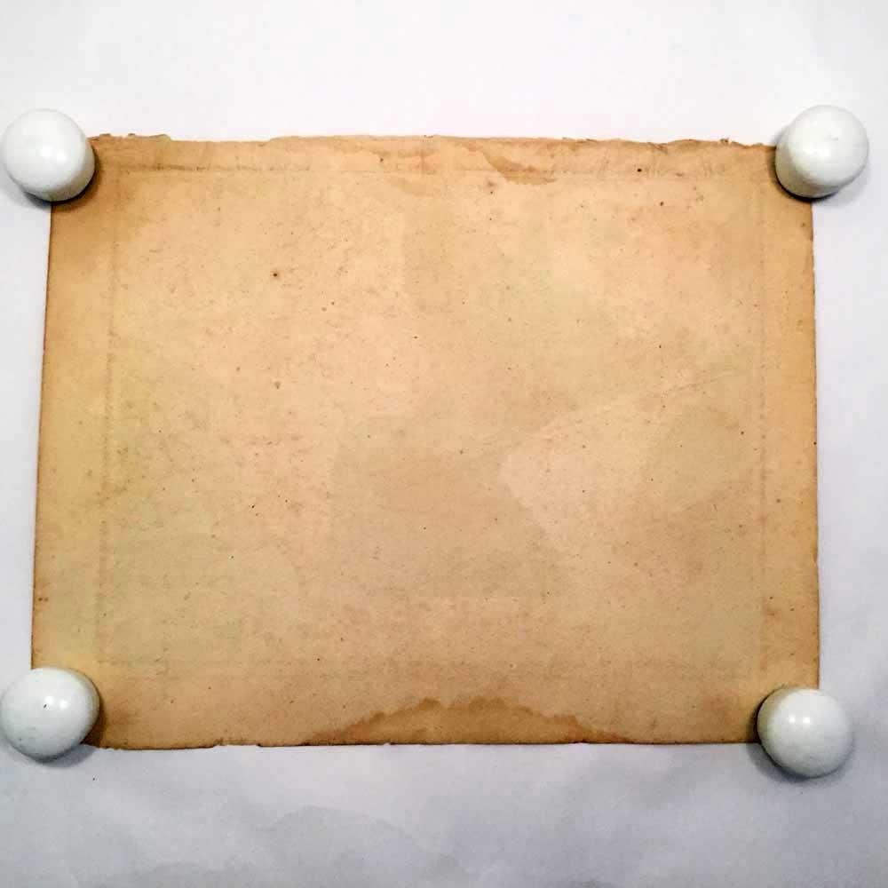
Condition as in photos, tears around edges, discoloration. Map has been stored rolled and has some curling, but will be mailed flat. About 8⅞” x 11¼”. Worthy of restoration or frame as is.
GBR9-fumc-09
Shipping/Discount
Posh Protect: Buyer Protection Policy
Get your order as described or receive your money back. Learn More.


mppc90
and
11 others
like this
About the seller

@minkeybusiness
Last Active: 4 hours ago
Houston, TX
4925
Listings2000+
Sold Listings1 day
Avg. Ship time100+
Love NotesFind Similar Listings
About the seller
@minkeybusiness
Last Active: 4 hours ago
Houston, TX
4925
Listings2000+
Sold Listings1 day
Avg. Ship time100+
Love Notes
Account is under Review
Comment posting is temporarily restricted. Our team will reach out to you shortly. To understand why, select
Learn More.
Confirm Availability
This listing hasn’t been updated recently. Reactivate it to keep it available for sale.
Permanently remove this listing from your closet.
Delete Listing?
Your listing will be deleted. This action cannot be undone.
