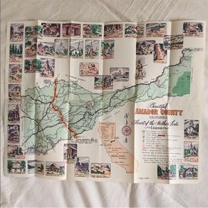

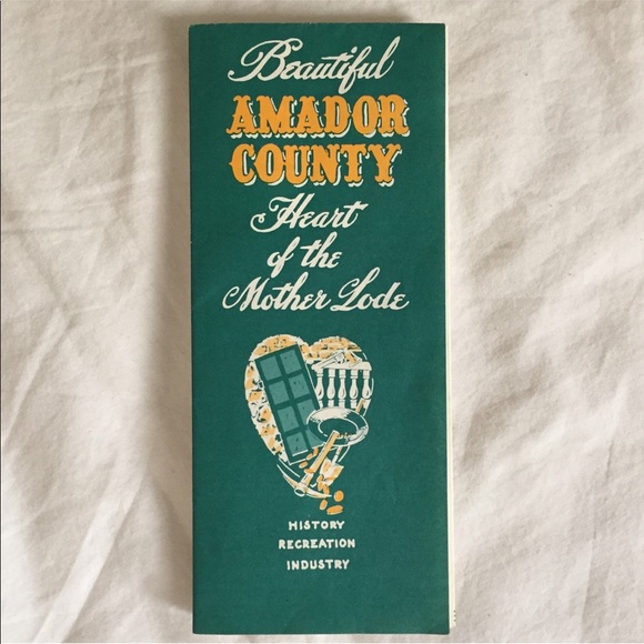
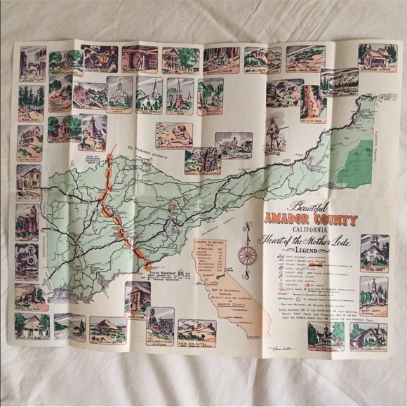

1960’s California Illustrated Amador County Map
$30
Pay in 4 interest-free payments of $7.50
with ![]() .
Learn More
.
.
Learn More
.
Size
Like and save for later
Add To Bundle
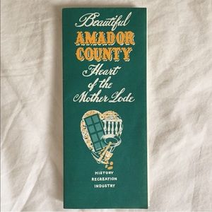
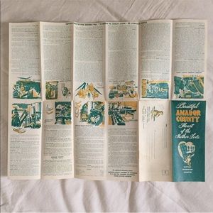
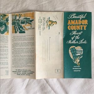
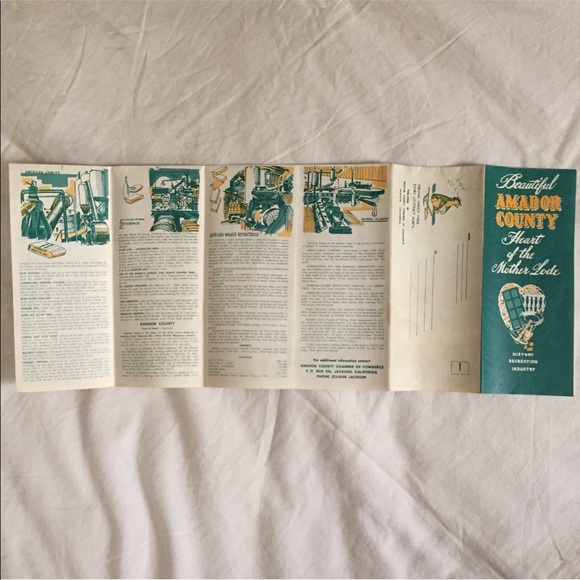
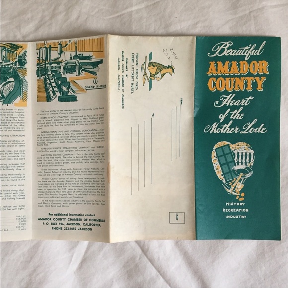
Original 1960’s “Heart of the Mother Lode” illustrated map of Amador County, California. Highlights various points of interest, cities & towns, highways, roads, state parks, and airports etc. Published by Amador County Chamber of Commerce. In very good condition with minor age/use appropriate wear.
Measures approximately 21.75” wide by 17.25” tall when laid flat as viewed in main photo.
Shipping/Discount
Posh Protect: Buyer Protection Policy
Get your order as described or receive your money back. Learn More.


jpogo
and
2 others
like this


Find Similar Listings
About the seller

@mrcivilized
Last Active: Jul 09 2019
Los Angeles, CA
19
Listings4
Sold Listings--
Avg. Ship time--
Love NotesAbout the seller
@mrcivilized
Last Active: Jul 09 2019
Los Angeles, CA
19
Listings4
Sold Listings--
Avg. Ship time--
Love Notes
Account is under Review
Comment posting is temporarily restricted. Our team will reach out to you shortly. To understand why, select
Learn More.
