


1951 Standard Bible Maps And Charts 8 Poster Set 19x25 Sunday School Vintage Lot
$28
Size
Like and save for later
Add To Bundle
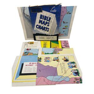
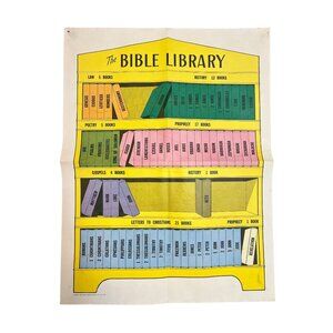
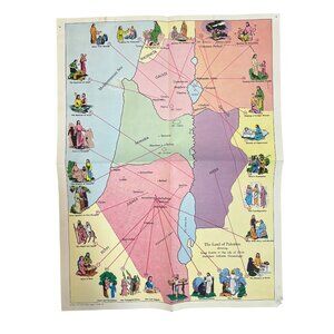
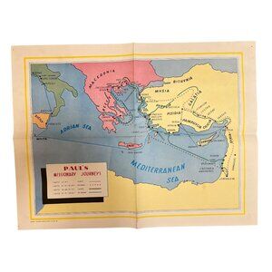
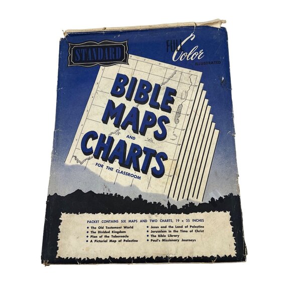
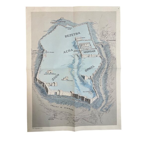
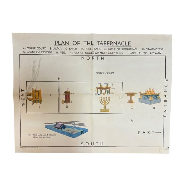
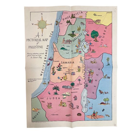
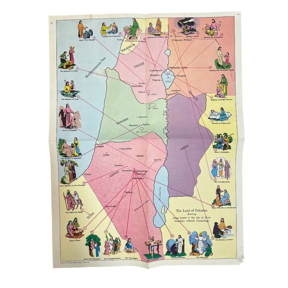
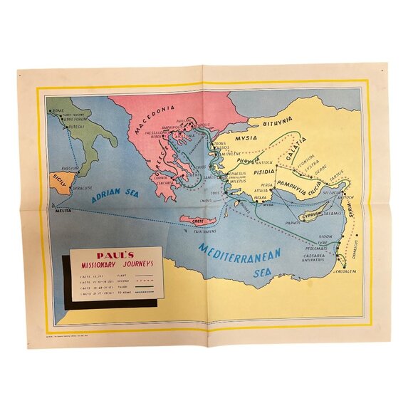
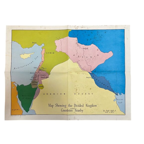
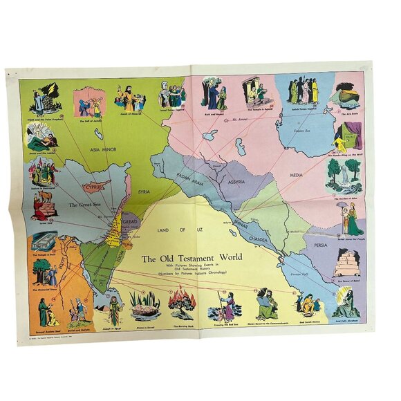
Vintage 1951 Standard Publishing Bible Maps and Charts for the Classroom packet, complete with all eight original full-color 19" x 25" posters. Charts include The Old Testament World, The Divided Kingdom, Plan of the Tabernacle, Pictorial Map of Palestine, Jesus and the Land of Palestine, Jerusalem in the Time of Christ, The Bible Library, and Paul’s Missionary Journeys. Bright mid-century artwork, ideal for Sunday-school décor, Bible study groups, or framing as wall art.
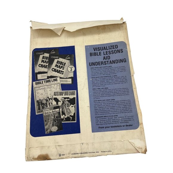
Original outer envelope is present but heavily worn with edge tears, creasing, and staining. All eight maps/charts are present and unfolded only along original factory folds. Sheets show typical handling wear: fold-line creases, a few small edge tears, scattered spots/foxing, and light soiling in places, but colors remain strong and charts are fully legible. There are pinholes in the corners and also some tape residue on the back. See pictures for further details on condition.
Shipping/Discount
Posh Protect: Buyer Protection Policy
Get your order as described or receive your money back. Learn More.


Find Similar Listings
About the seller

@fhventures
Last Active: 24 hours ago
Knoxville, TN
1808
Listings600+
Sold Listings1 day
Avg. Ship time97
Love NotesAbout the seller
@fhventures
Last Active: 24 hours ago
Knoxville, TN
1808
Listings600+
Sold Listings1 day
Avg. Ship time97
Love Notes
Account is under Review
Comment posting is temporarily restricted. Our team will reach out to you shortly. To understand why, select
Learn More.
