


1950's State Of New Hampshire Dept Of Interior Highway Topography Maps Set Of 4
$35
Pay in 4 interest-free payments of $8.75
with ![]() .
Learn More
.
.
Learn More
.
Size
Like and save for later
Add To Bundle
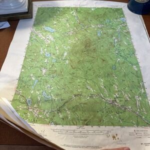
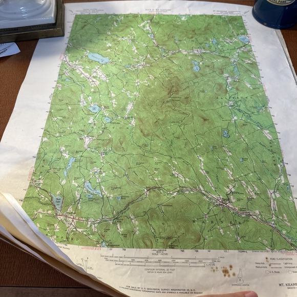
The product is a set of four topography maps of the State of New Hampshire from the 1950s. These maps are part of the Department of Interior's collection and would have been used for highway planning and navigation purposes. The maps provide detailed information about the topography and geography of the region, making them a valuable resource for collectors or those interested in transportation history. Made in the United States, these vintage maps offer a glimpse into the past and the development of infrastructure in New Hampshire during the mid-20th century.
Shipping/Discount
Posh Protect: Buyer Protection Policy
Get your order as described or receive your money back. Learn More.


Find Similar Listings
About the seller

@courtneybooks
Last Active: this hour
Orrington, ME
3319
Listings2100+
Sold Listings1 day
Avg. Ship time100+
Love NotesAbout the seller
@courtneybooks
Last Active: this hour
Orrington, ME
3319
Listings2100+
Sold Listings1 day
Avg. Ship time100+
Love Notes
Account is under Review
Comment posting is temporarily restricted. Our team will reach out to you shortly. To understand why, select
Learn More.
